
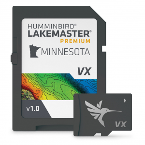
Humminbird LakeMaster Premium Digital Maps give an added advantage over standard LakeMaster Maps, supplying you with additional features, 2D Shaded Relief, and Aerial Imagery! The 2D Shaded Relief makes bottom detail and depth changes even easier to spot. Aerial Imagery helps you ID new honey holes and navigate to other points of interest. VX Technology is a standard feature that includes more than 13,000 lake maps across 13 regions in North America. Updated LakeMaster Maps SD Cards offer enhanced underwater mapping, detailed shorelines, and adjustable color schemes to help you quickly discover the best fishing spots anywhere. SmartStrike is a digital fishing assistant that helps you anticipate where the fish will be. Integrated into the LakeMaster map cards, SmartStrike allows you to input search specifications such as season, time of day, temperature, and type of fish.Using the LakeMaster Digital Map, switching between custom view settings is easy and straightforward. You can define up to four adjustable depths to locate the most abundant fishing grounds. The cartography also features a red shade to illustrate shallow water zones with a range of 0 to 60 feet. Additionally, the depth contours are designed to match the current water levels of lakes, rivers, and reservoirs. You can get the most out of your Humminbird LakeMaster maps by connecting a Humminbird fish finder and a compatible Minn Kota trolling motor to the One-Boat Network. For hands-free fishing, your Minn Kota can automatically follow a depth contour on your LakeMaster chart. To get an accurate map of the waters you fish, put a digital Humminbird LakeMaster Premium Map at your fingertips.Regional SD card mapping for North America provides unrivaled detail, accuracy, and innovative, one-of-a-kind features you need to eliminate unproductive water and get to the best fishing spots faster2D Shaded Relief makes bottom detail and depth changes easy to spot, so you can quickly identify fish-holding areasAerial Imagery: Navigate more confidently and find new fishing spots with the help of aerial imageryVX Technology: Vector-accelerated technology provides exceptional map performance and customizable color palettesSmartStrike highlights areas of the lake map where fish are most likely biting (Please note: Select HD lakes only)Chart Presets make it simple and easy to change between your own custom view settingsDepth Highlight: Highlight a selected depth range so you can target productive water and stay where the fish areShallow Water Highlight: Easy-to-see red shading highlights shallow water areas on an adjustable range from 0 to 60 feetWater Level Offset: Synchronize the depth contours and shorelines of your LakeMaster charts with the actual water levels of lakes, reservoirs, and riversOne-Boat Network connects your Humminbird LakeMaster chart and Minn Kota trolling motor, allowing your boat to automatically follow a depth contour lineCompatible with Humminbird HELIX G3/G3N and newer, all SOLIX units, and all APEX unitsManufacturer's one-year cartography warranty
Price: $199.99 from FishUSA
| Merchant | Price | |
|---|---|---|
| FishUSA | $199.99 | Visit Store |
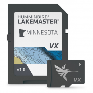
Humminbird LakeMaster Digital Maps, featuring standard VX Technology, offer more than 13,000 lake maps across 13 regions in North America. Updated LakeMaster Maps SD Cards provide enhanced underwater mapping, detailed shorelines, and adjustable color...
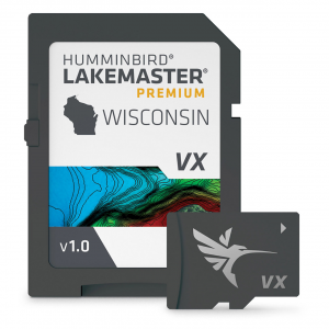
Humminbird LakeMaster Premium Digital Maps give an added advantage over standard LakeMaster Maps, supplying you with additional features, 2D Shaded Relief, and Aerial Imagery! The 2D Shaded Relief makes bottom detail and depth changes even easier to spot....
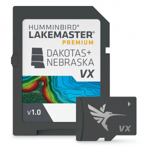
Humminbird LakeMaster Premium Digital Maps give an added advantage over standard LakeMaster Maps, supplying you with additional features, 2D Shaded Relief, and Aerial Imagery! The 2D Shaded Relief makes bottom detail and depth changes even easier to spot....