

Now with an improved construction, the Endura Strike Glove feels like a second skin as it shields our hands from wintry conditions. The plush lining helps trap warm air, while the waterproof layer stops splashes and flurries from soaking through. As we...
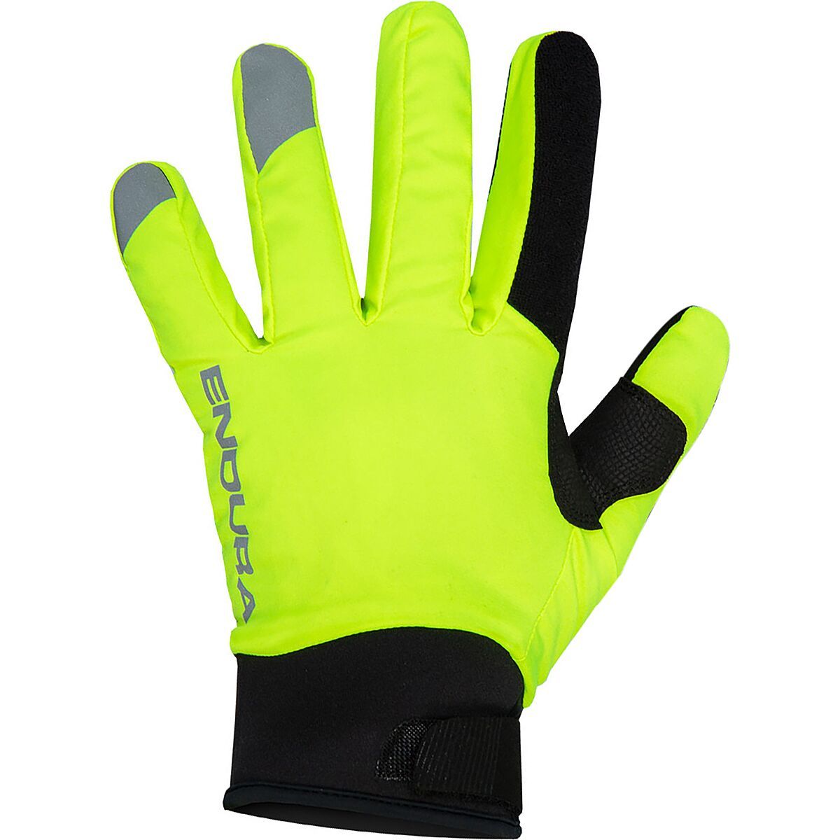
Now with an improved construction, the Endura Strike Glove feels like a second skin as it shields our hands from wintry conditions. The plush lining helps trap warm air, while the waterproof layer stops splashes and flurries from soaking through. As we...
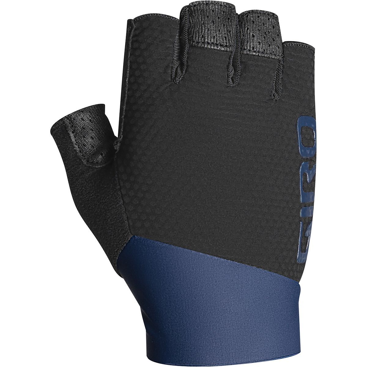
The Giro Zero CS Glove satisfies demanding enthusiasts and pros alike with a minimalist design that forgoes unnecessary padding and bulk. It's for the rider seeking excellent bar feel and dexterous grip on training rides and races. The Cool Skin palm...
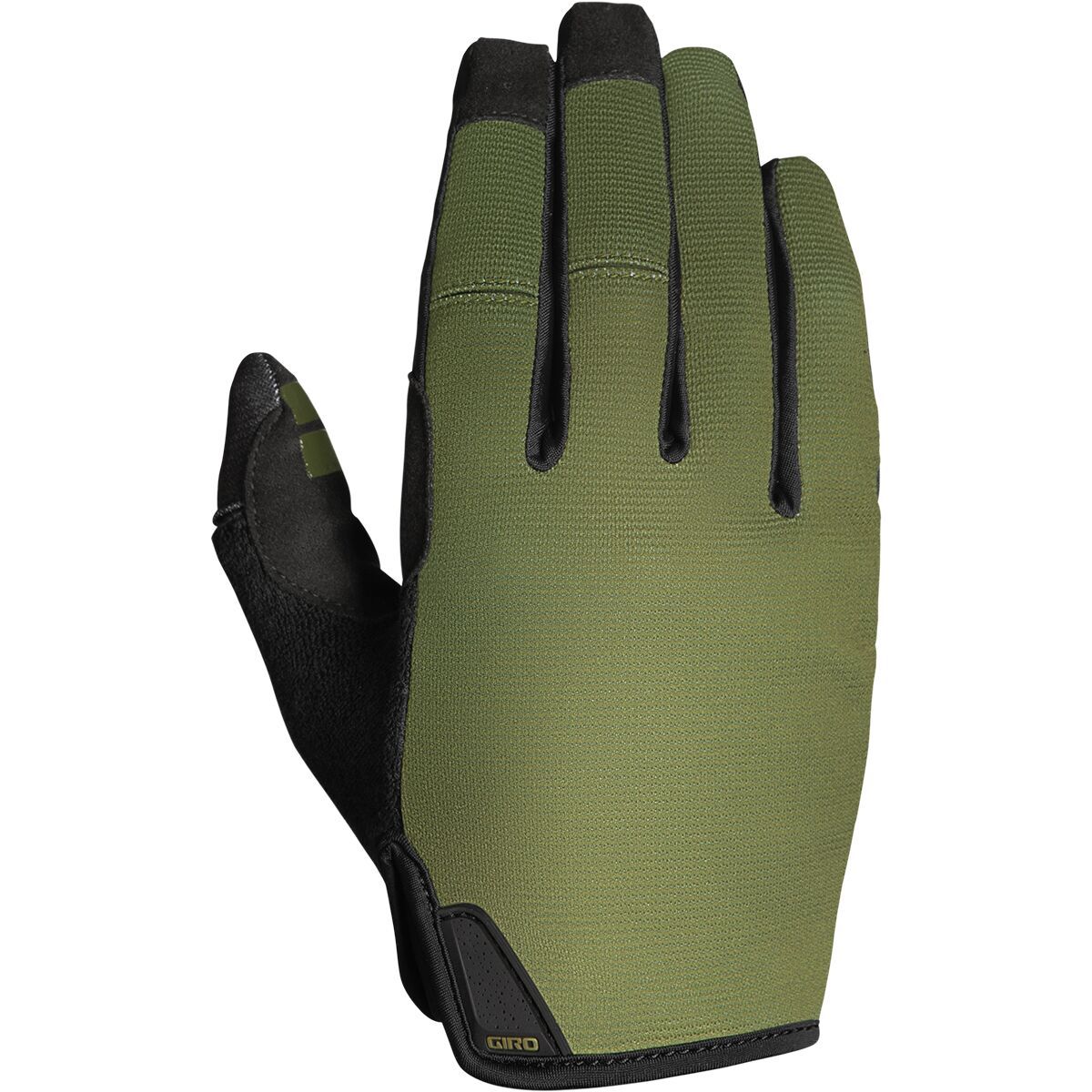
For cross-country and light trail riding during the summer months we're throwing on the Giro Trixter Glove. This performance-focused but budget-friendly glove gives us all sorts of control while we're ripping up local cross-country and trail loops. The...
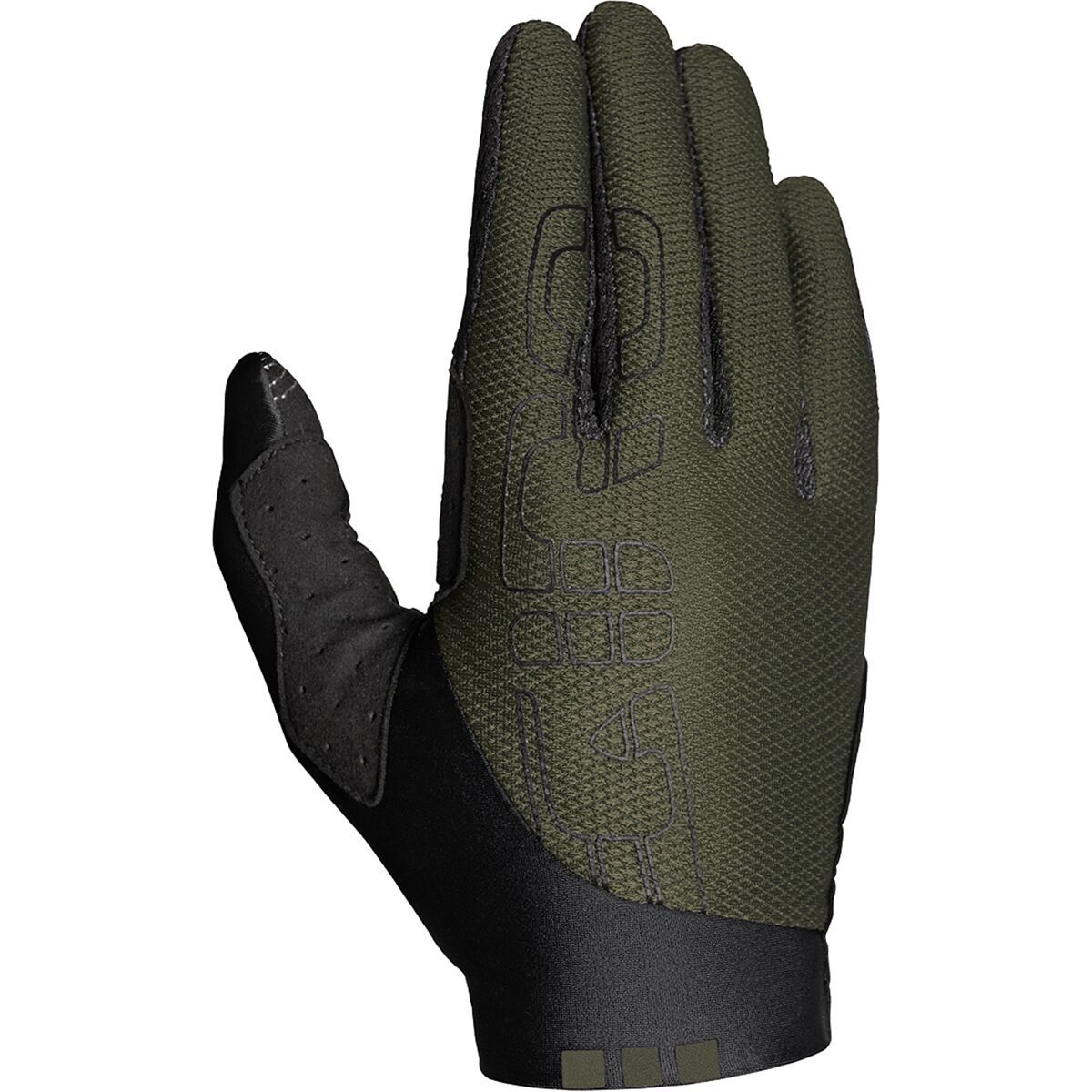
Chattering over chunder leaves our hands feeling raw, but not if we're equipped with the DND Glove from Giro. With this glove fit, durability, and control are the names of the game. An AX Suede palm eliminates bunching and provides an excellent bar feel,...

Chattering over chunder leaves our hands feeling raw, but not if we're equipped with the DND Glove from Giro. With this glove fit, durability, and control are the names of the game. An AX Suede palm eliminates bunching and provides an excellent bar feel,...
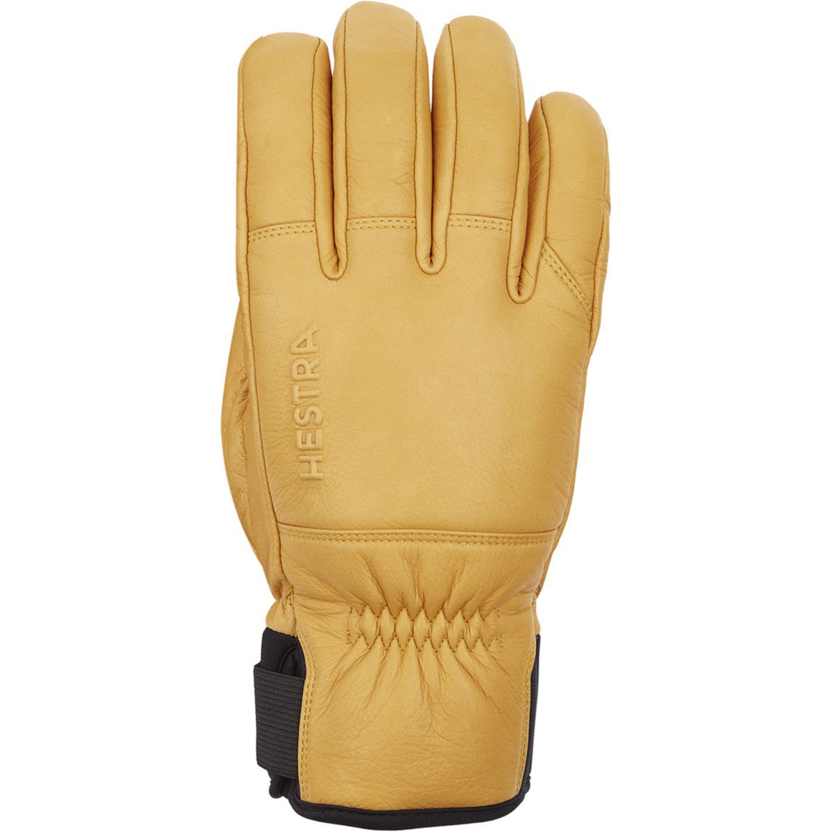
Workwear inspired gloves and mittens are all the rage in skiing and snowboarding these days, and for good reason, they are durable, easily waterproofed, and stylish. The Hestra Omni Insulated Glove fits all of these characteristics and adds more winter-specific...

Knitted supplementary 5-finger liner. Add to existing models on cold days to increase warmth. Fits easily in your pocket
Knitted supplementary 5-finger liner. Add to existing models on cold days to increase warmth. Fits easily in your pocket
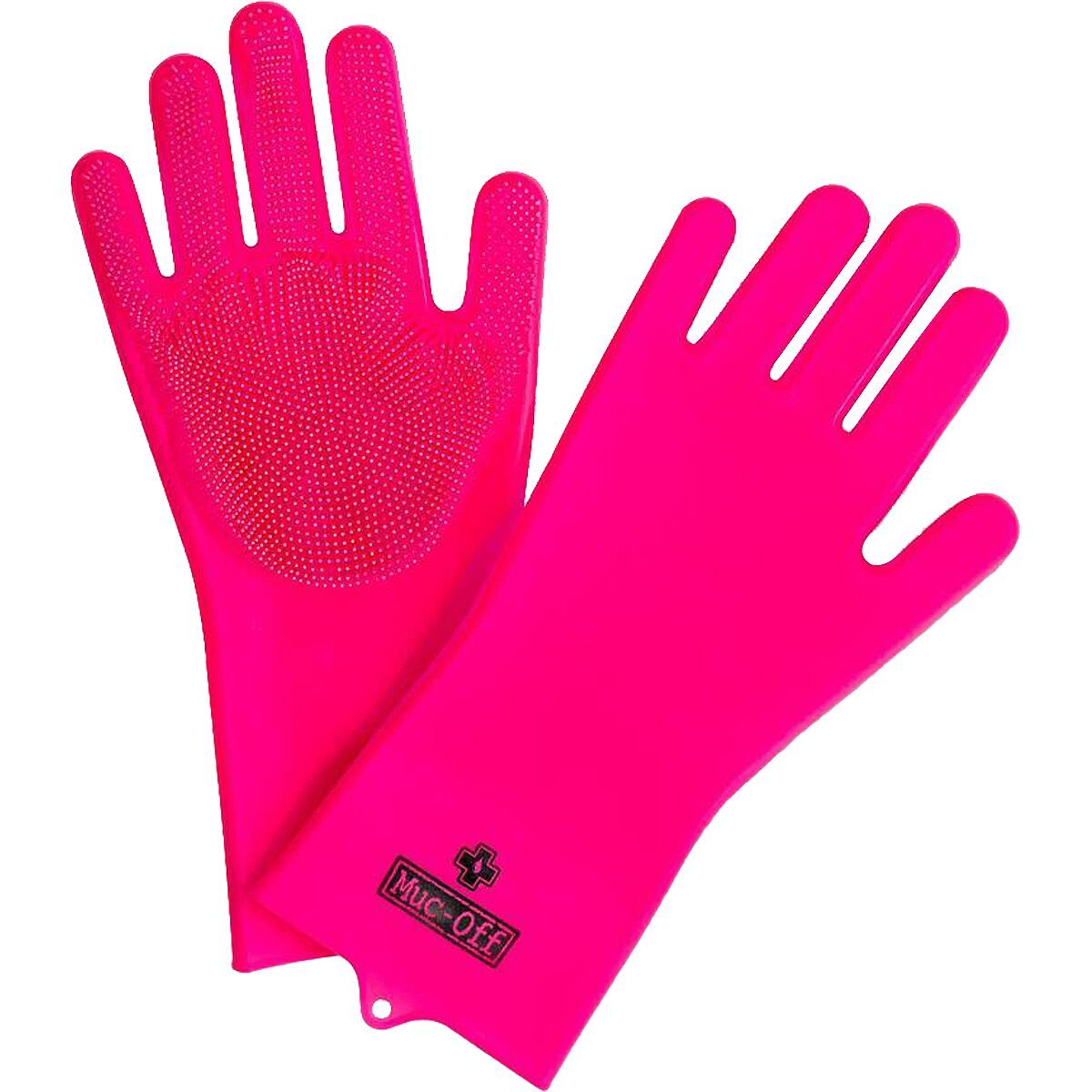
Got some hard to reach grime you just cant get to? Or just want to grab your bike with both hands and get down to it? Then reach for the Muc-Off Deep Scrubber Gloves, you just wont believe how fast you can get your pride and joy thoroughly clean!Made...

Got some hard to reach grime you just cant get to? Or just want to grab your bike with both hands and get down to it? Then reach for the Muc-Off Deep Scrubber Gloves, you just wont believe how fast you can get your pride and joy thoroughly clean!Made...
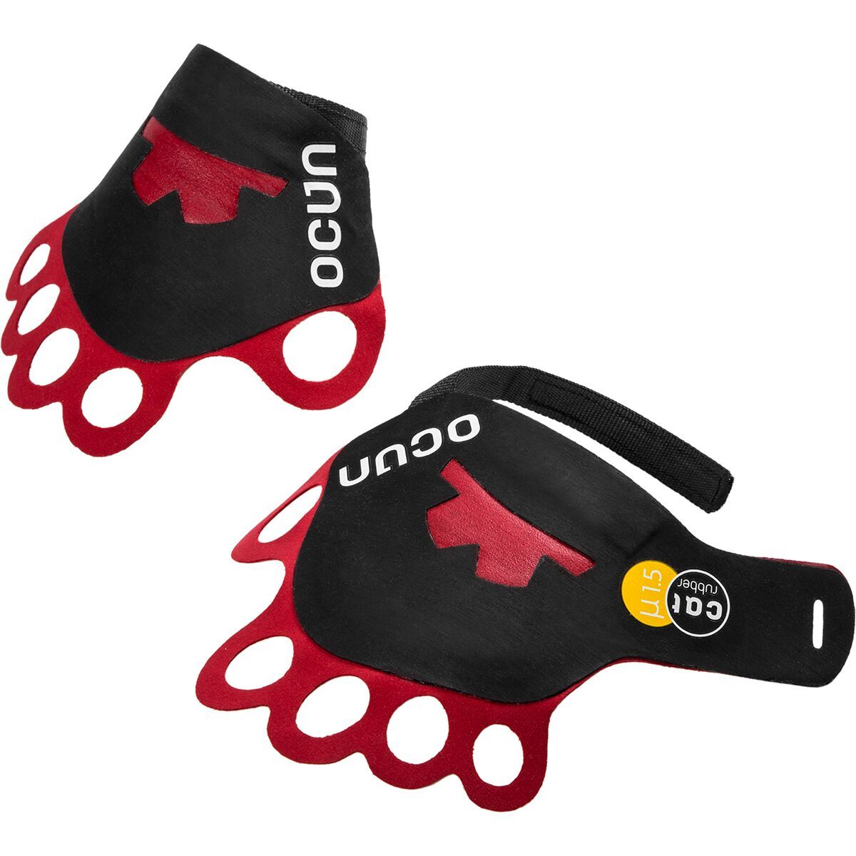
When we're crack climbing in the notorious Creek or hitting up the newly developed boulders in the Front Range that are jam-worthy, we pull on our Lite Crack Glove for optimal protection and friction.

When we're crack climbing in the notorious Creek or hitting up the newly developed boulders in the Front Range that are jam-worthy, we pull on our Lite Crack Glove for optimal protection and friction.

When we're crack climbing in the notorious Creek or hitting up the newly developed boulders in the Front Range that are jam-worthy, we pull on our Lite Crack Glove for optimal protection and friction.

When we're crack climbing in the notorious Creek or hitting up the newly developed boulders in the Front Range that are jam-worthy, we pull on our Lite Crack Glove for optimal protection and friction.

When we're crack climbing in the notorious Creek or hitting up the newly developed boulders in the Front Range that are jam-worthy, we pull on our Lite Crack Glove for optimal protection and friction.
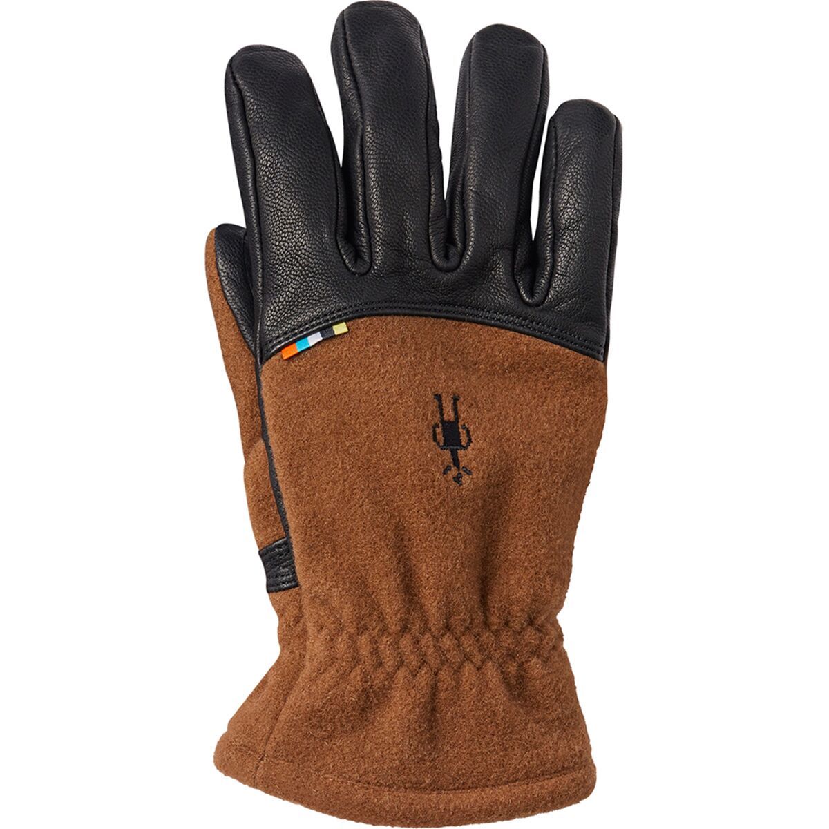
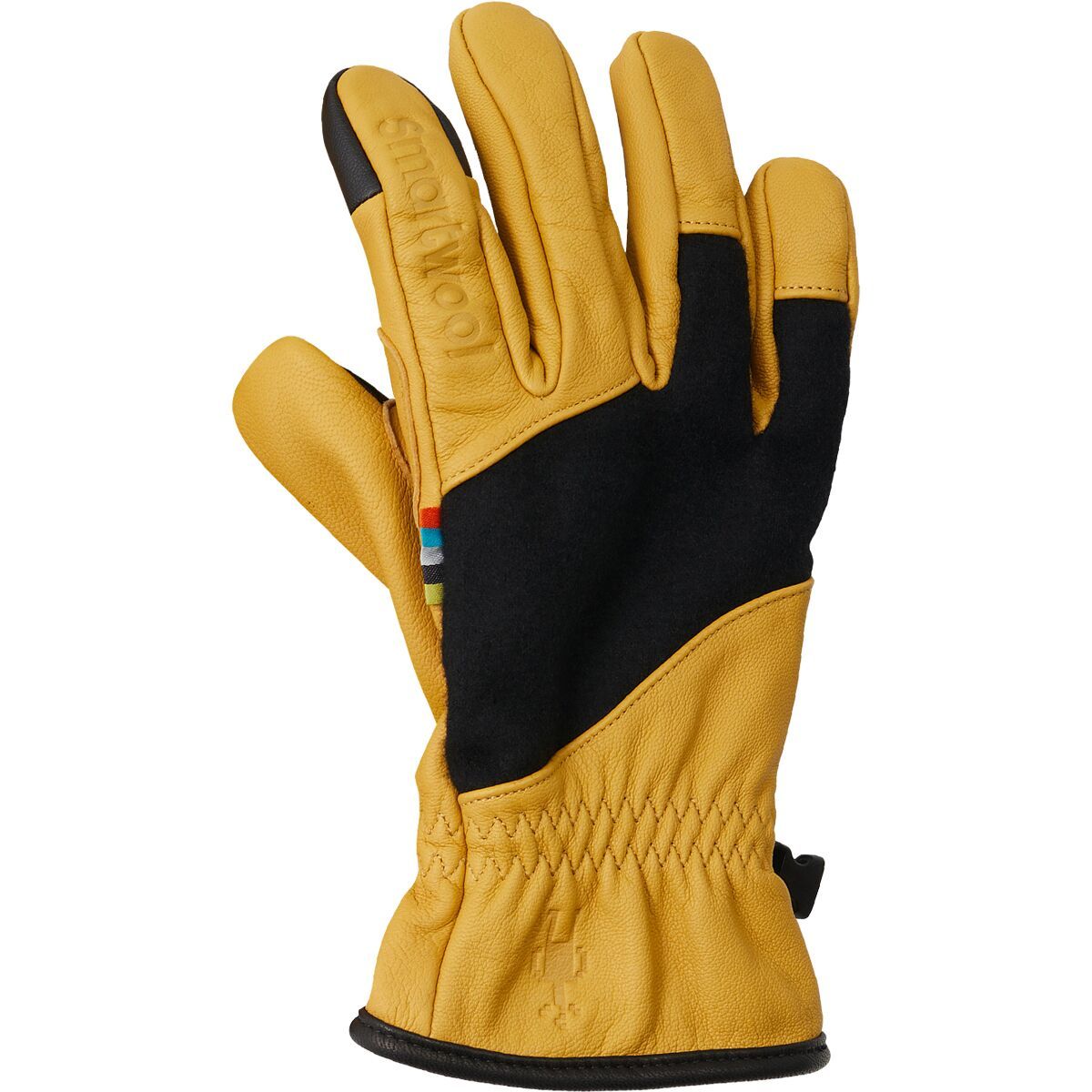
Our Stagecoach Glove features soft-brushed, responsibly sourced Merino next to skin and touchscreen-compatible leather to help keep you warm and easy to communicate with. Grab a pair, get comfortable, and get out there.

Our Stagecoach Glove features soft-brushed, responsibly sourced Merino next to skin and touchscreen-compatible leather to help keep you warm and easy to communicate with. Grab a pair, get comfortable, and get out there.
From skiing to snowboarding, our double-layered Ridgeway Glove is here to keep you warm and comfortable no matter where your explorations take you. With thumb and index finger reinforcement for touchscreen convenience and a soft-brush Merino lining, your...

From skiing to snowboarding, our double-layered Ridgeway Glove is here to keep you warm and comfortable no matter where your explorations take you. With thumb and index finger reinforcement for touchscreen convenience and a soft-brush Merino lining, your...
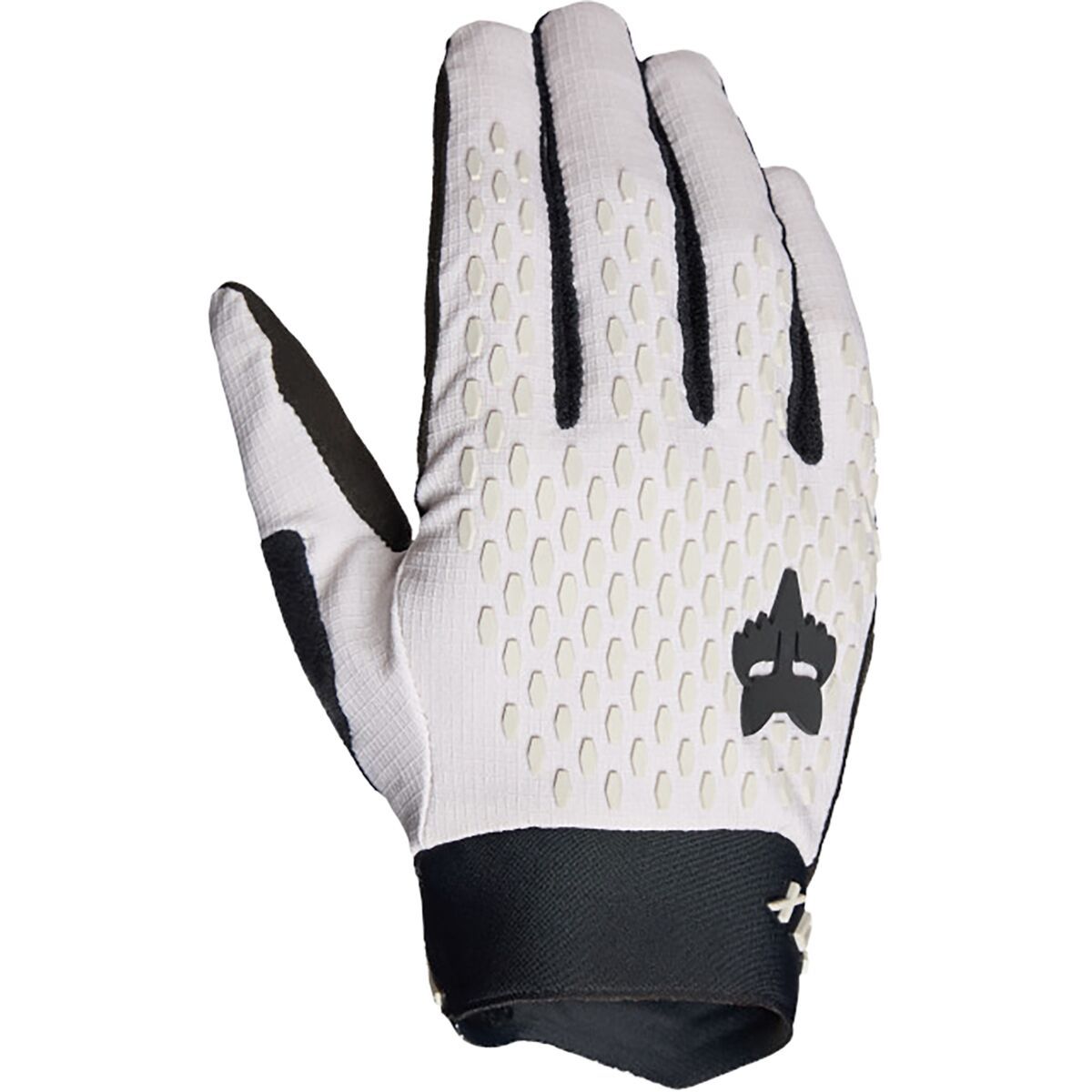
When we are riding aggressively, we need apparel that can keep up with us. The Fox Racing Defend Gloves are durable, comfortable gloves for aggressive all-mountain riding. A four-way stretch polyester fabric ensures a comfortable fit, and a single-layer...

When we are riding aggressively, we need apparel that can keep up with us. The Fox Racing Defend Gloves are durable, comfortable gloves for aggressive all-mountain riding. A four-way stretch polyester fabric ensures a comfortable fit, and a single-layer...
"What Our Gearhead® Experts Are Saying:""These gloves offer a perfect balance of grip, durability, and breathability. The low-profile cuff makes them easy to slip on, and the touchscreen compatibility means I don’t have to take them off for quick phone...

"What Our Gearhead® Experts Are Saying:""These gloves offer a perfect balance of grip, durability, and breathability. The low-profile cuff makes them easy to slip on, and the touchscreen compatibility means I don’t have to take them off for quick phone...
"What Our Gearhead® Experts Are Saying:""These gloves offer a perfect balance of grip, durability, and breathability. The low-profile cuff makes them easy to slip on, and the touchscreen compatibility means I don’t have to take them off for quick phone...