
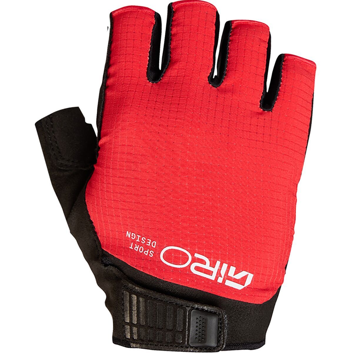
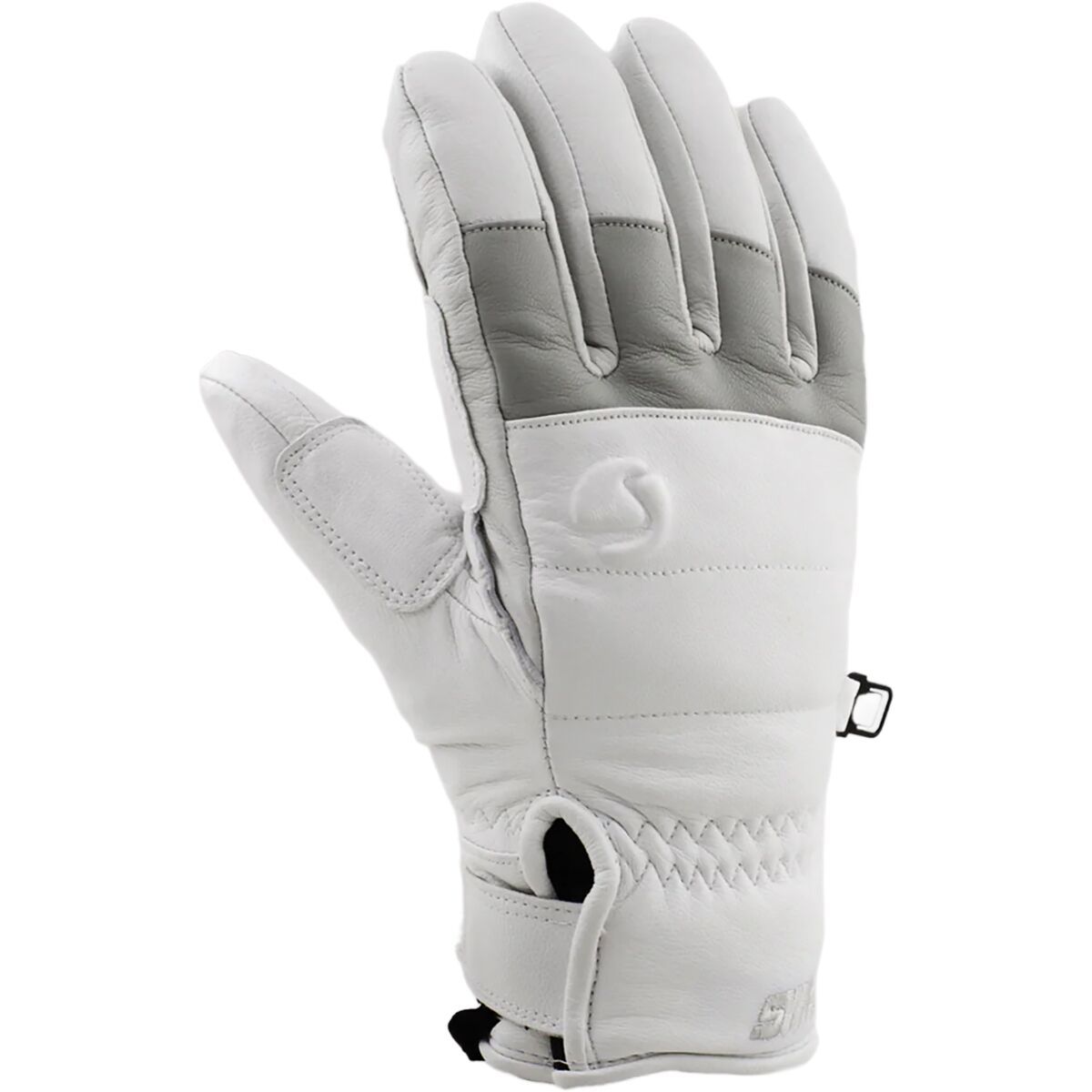
With reflective finger pulls, a larger hook-and-loop closure system, and a redesigned cuff, your favorite glove

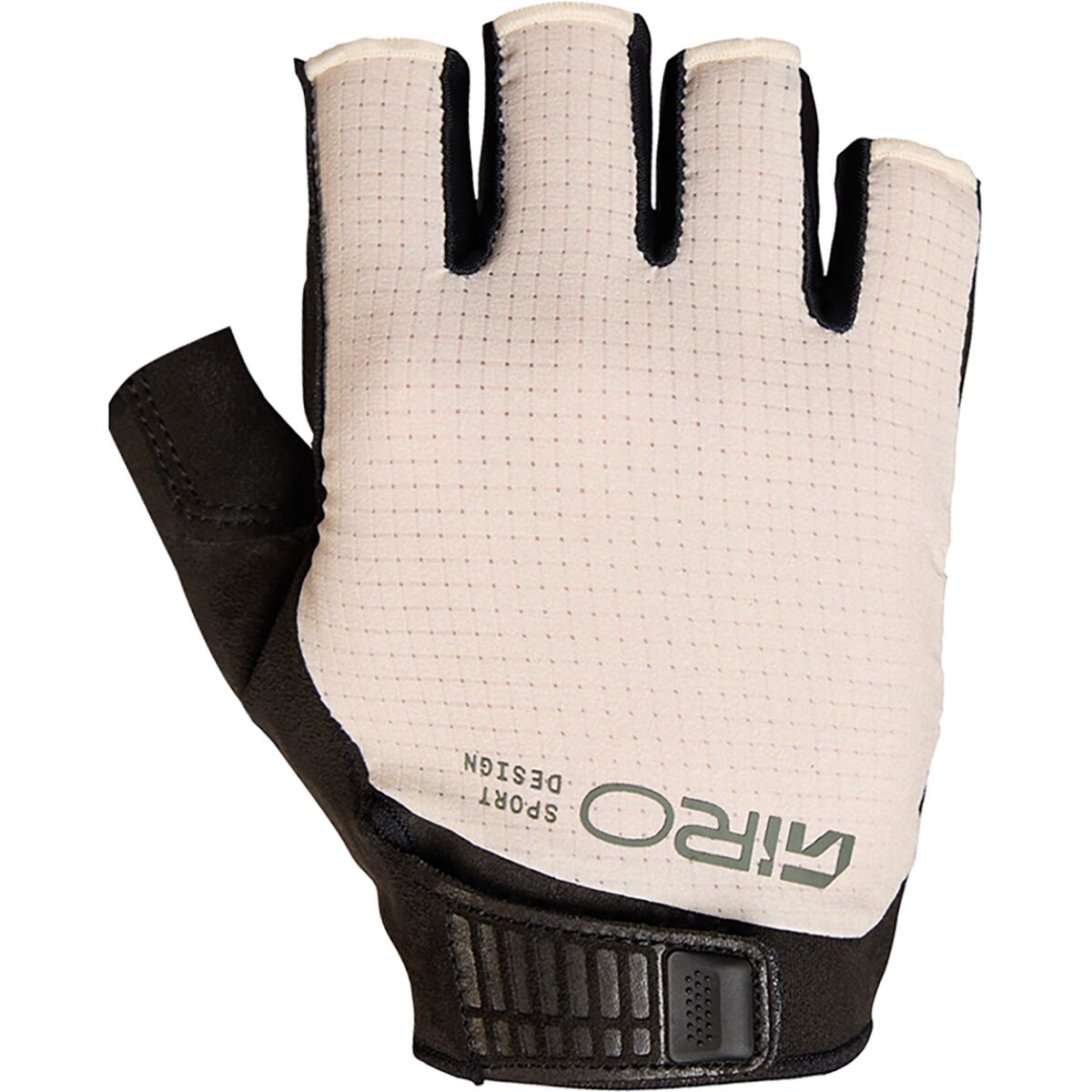
With reflective finger pulls, a larger hook-and-loop closure system, and a redesigned cuff, your favorite glove
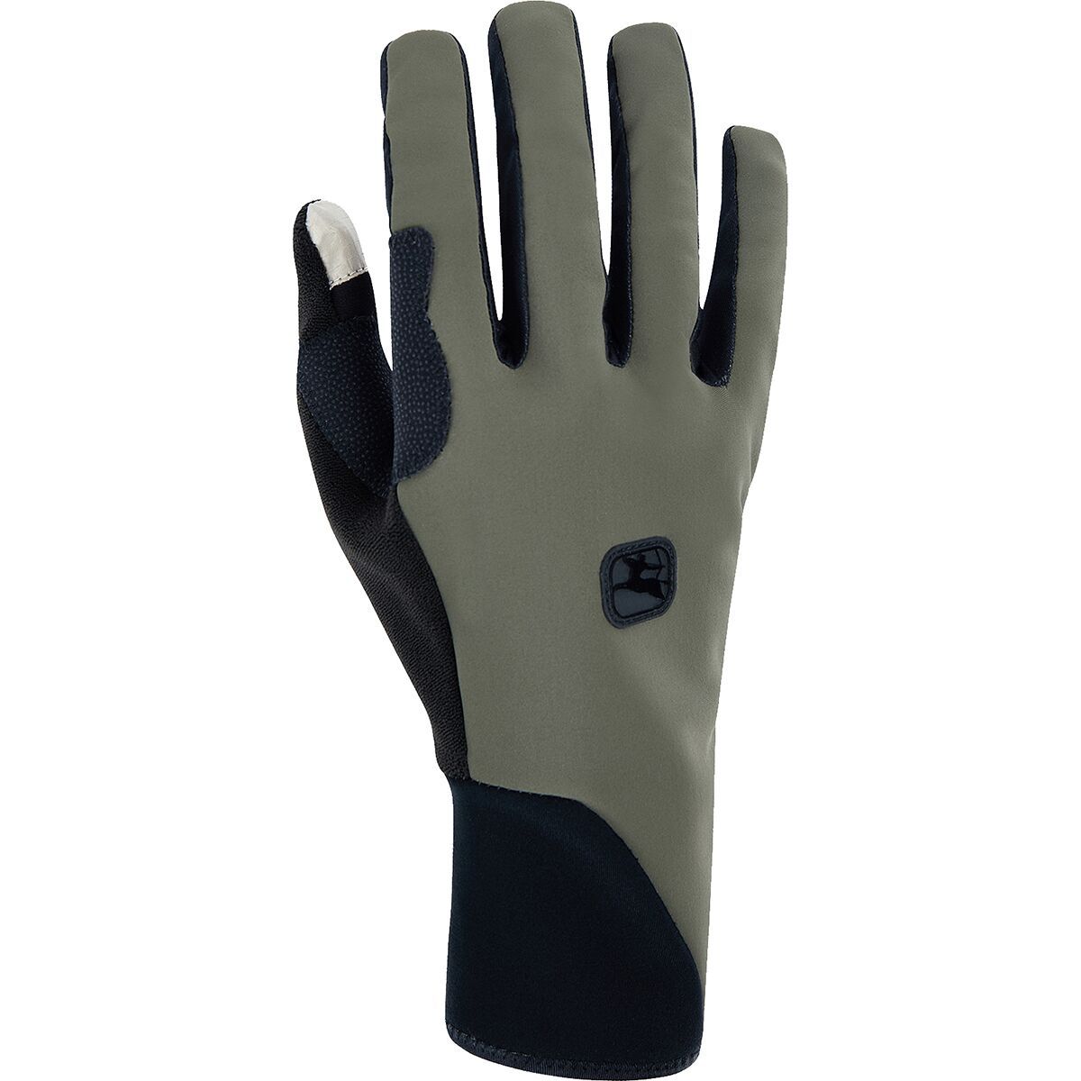
With reflective finger pulls, a larger hook-and-loop closure system, and a redesigned cuff, your favorite glove
"What Our Gearhead® Experts Are Saying:""I use these gloves for those in-between winter days—too cold for lightweight gloves but not deep-winter frigid. The insulation hits the sweet spot, and they’re easy to get on and off even when wet. Touchscreen...

"What Our Gearhead® Experts Are Saying:""I use these gloves for those in-between winter days—too cold for lightweight gloves but not deep-winter frigid. The insulation hits the sweet spot, and they’re easy to get on and off even when wet. Touchscreen...

"What Our Gearhead® Experts Are Saying:""I use these gloves for those in-between winter days—too cold for lightweight gloves but not deep-winter frigid. The insulation hits the sweet spot, and they’re easy to get on and off even when wet. Touchscreen...
"What Our Gearhead® Experts Are Saying: ""I’ve been riding in the Ksyrium Pro Gloves for months now, and they’ve quickly become my go-to. The padding is right where I need it—enough to kill road buzz without feeling bulky—and the ventilation...
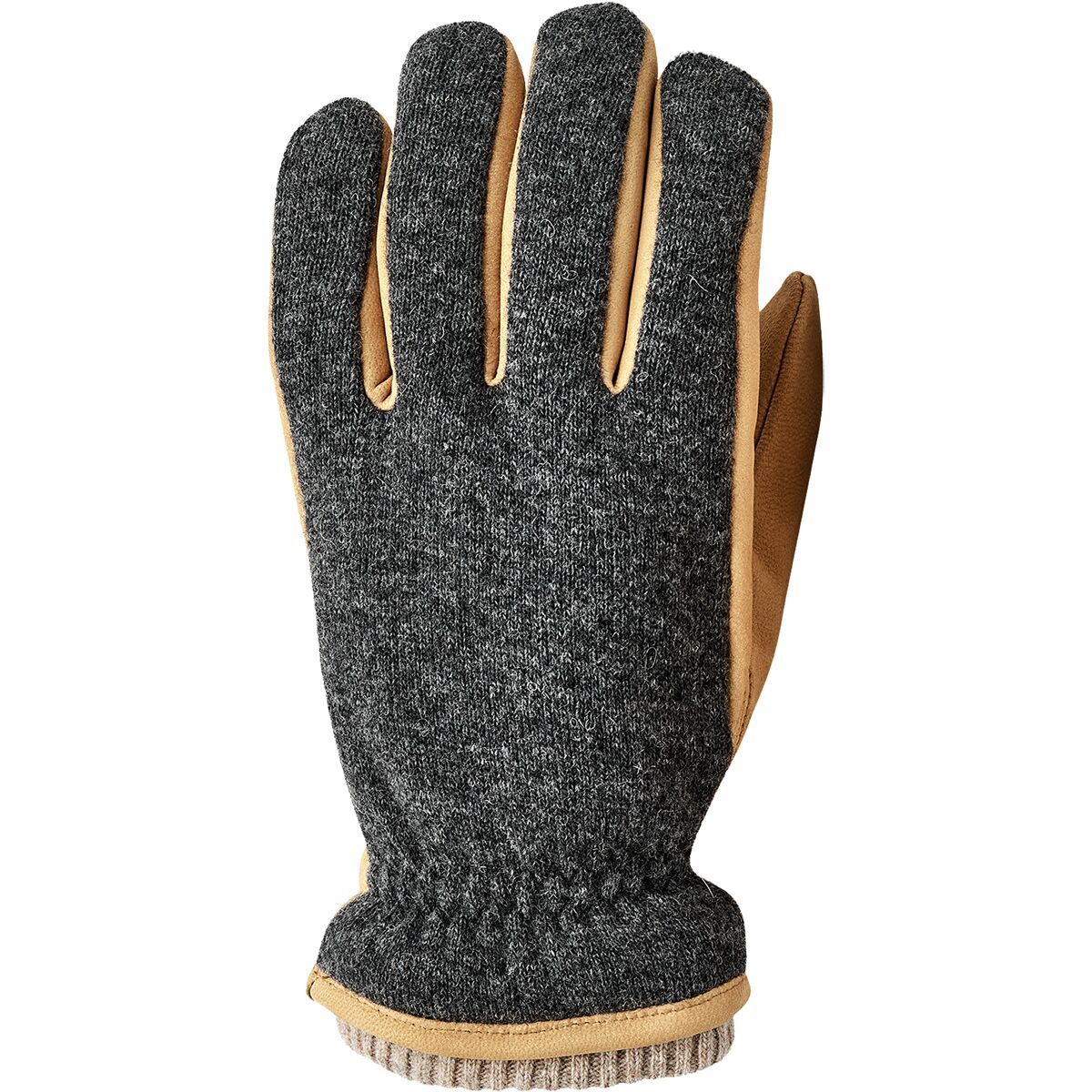
"What Our Gearhead® Experts Are Saying:""I’ve been wearing the Noah Glove around town all winter and it’s just the right mix of cozy and classy. The wool backhand looks great and gives it a soft touch, while the leather palm adds grip and durability....

"What Our Gearhead® Experts Are Saying:""I’ve been wearing the Noah Glove around town all winter and it’s just the right mix of cozy and classy. The wool backhand looks great and gives it a soft touch, while the leather palm adds grip and durability....

"What Our Gearhead® Experts Are Saying:""I’ve been wearing the Noah Glove around town all winter and it’s just the right mix of cozy and classy. The wool backhand looks great and gives it a soft touch, while the leather palm adds grip and durability....

"What Our Gearhead® Experts Are Saying:""I’ve been wearing the Noah Glove around town all winter and it’s just the right mix of cozy and classy. The wool backhand looks great and gives it a soft touch, while the leather palm adds grip and durability....

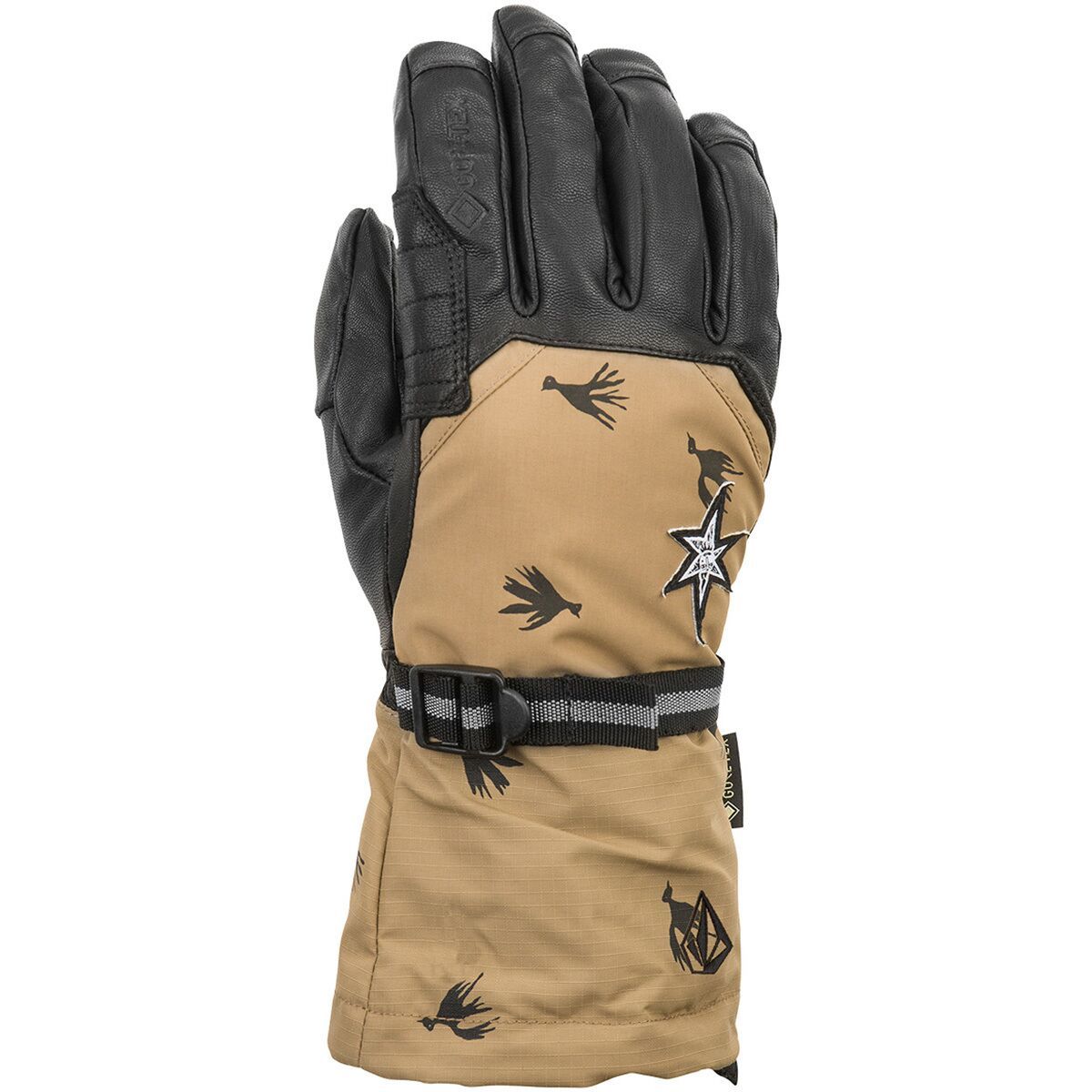
"What Our Gearhead® Experts Are Saying: ""These gloves are my go-to for storm riding. The GORE-TEX insert truly lives up to the hype—no moisture sneaks in, even on deep powder days. The 80g of Thinsulate insulation hits that sweet spot between warmth...

"What Our Gearhead® Experts Are Saying: ""These gloves are my go-to for storm riding. The GORE-TEX insert truly lives up to the hype—no moisture sneaks in, even on deep powder days. The 80g of Thinsulate insulation hits that sweet spot between warmth...

"What Our Gearhead® Experts Are Saying: ""These gloves are my go-to for storm riding. The GORE-TEX insert truly lives up to the hype—no moisture sneaks in, even on deep powder days. The 80g of Thinsulate insulation hits that sweet spot between warmth...

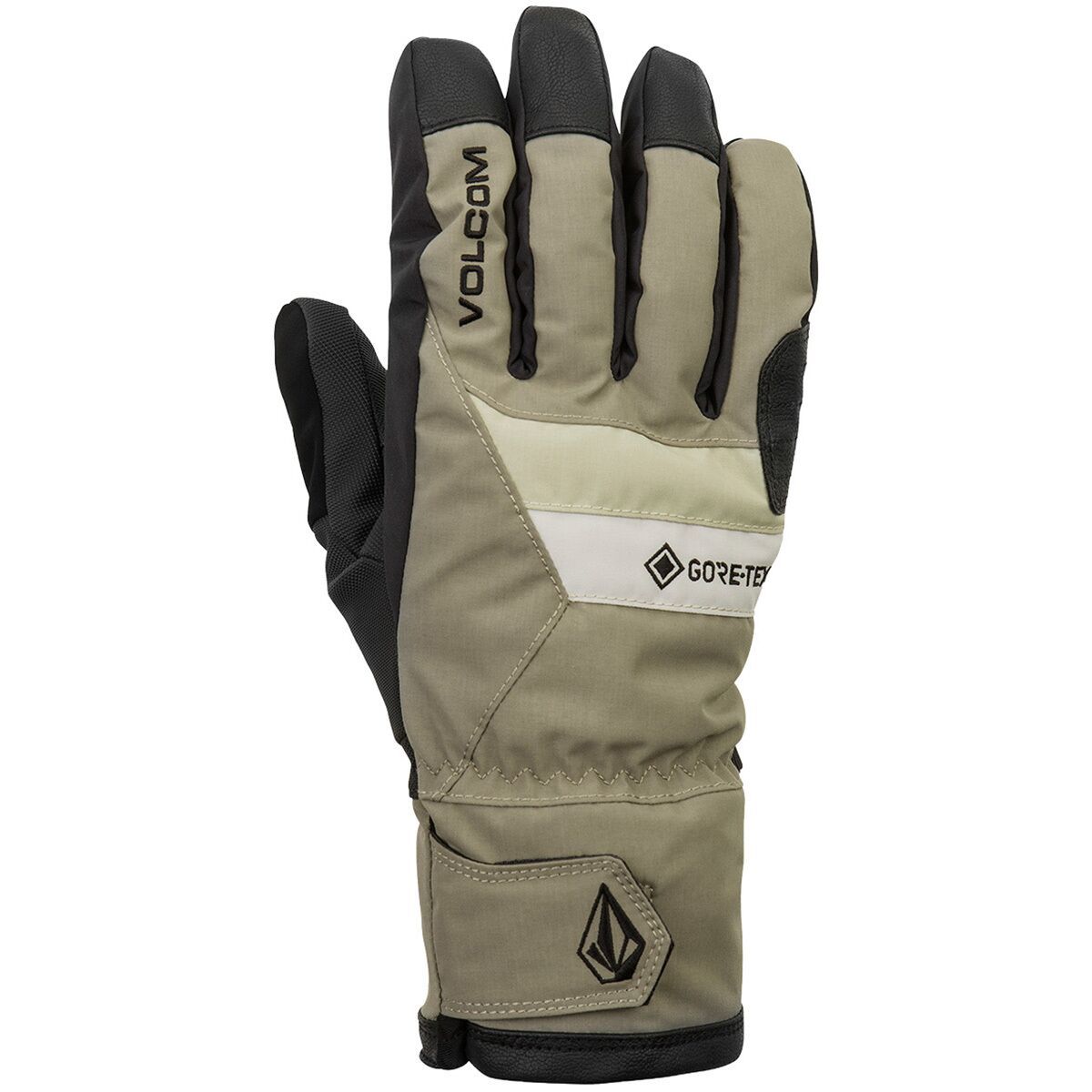
"What Our Gearhead® Experts Are Saying:""These gloves keep my hands dry and warm from first chair to last lap—plus, the removable liner is a game-changer for adjusting to changing temps.""From storm-day tree runs to bluebird groomers, the Volcom 91...

"What Our Gearhead® Experts Are Saying:""These gloves keep my hands dry and warm from first chair to last lap—plus, the removable liner is a game-changer for adjusting to changing temps.""From storm-day tree runs to bluebird groomers, the Volcom 91...
"What Our Gearhead® Experts Are Saying:""These gloves keep my hands dry and warm from first chair to last lap—plus, the removable liner is a game-changer for adjusting to changing temps.""From storm-day tree runs to bluebird groomers, the Volcom 91...

"What Our Gearhead® Experts Are Saying:""These gloves keep my hands dry and warm from first chair to last lap—plus, the removable liner is a game-changer for adjusting to changing temps.""From storm-day tree runs to bluebird groomers, the Volcom 91...
"What Our Gearhead® Experts Are Saying: ""These gloves are my go-to for storm riding. The GORE-TEX insert truly lives up to the hype—no moisture sneaks in, even on deep powder days. The 80g of Thinsulate insulation hits that sweet spot between warmth...

"What Our Gearhead® Experts Are Saying:""I like these because they balance warmth and dexterity really well. The Dryfinger insert actually breathes, so my hands stay dry even on warmer days, and the leather palm feels durable without being stiff. A great...

"What Our Gearhead® Experts Are Saying:""I like these because they balance warmth and dexterity really well. The Dryfinger insert actually breathes, so my hands stay dry even on warmer days, and the leather palm feels durable without being stiff. A great...

"What Our Gearhead® Experts Are Saying:""I like these because they balance warmth and dexterity really well. The Dryfinger insert actually breathes, so my hands stay dry even on warmer days, and the leather palm feels durable without being stiff. A great...
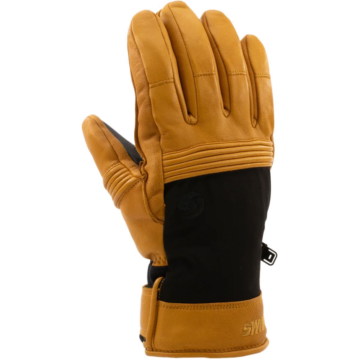
"What Our Gearhead® Experts Are Saying:""I like these because they balance warmth and dexterity really well. The Dryfinger insert actually breathes, so my hands stay dry even on warmer days, and the leather palm feels durable without being stiff. A great...
"What Our Gearhead® Experts Are Saying:""I always keep the Vento Glove in my winter kit for those bitter cold days in town or at the resort. It has that timeless leather look, but the real reason I reach for it is the Primaloft Gold insulation—it punches...

"What Our Gearhead® Experts Are Saying:""I always keep the Vento Glove in my winter kit for those bitter cold days in town or at the resort. It has that timeless leather look, but the real reason I reach for it is the Primaloft Gold insulation—it punches...