
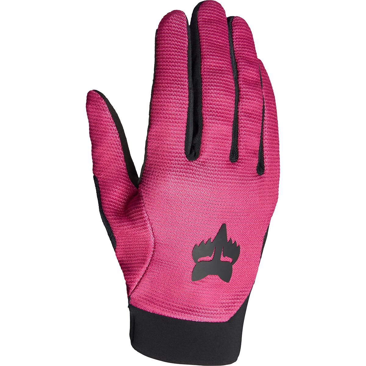
"What Our Gearhead® Experts Are Saying:""I love how the Womens Ranger Gloves balance comfort, grip, and durability for every ride. The low-profile cuff keeps them lightweight, while the touchscreen compatibility means I don’t have to take them off...
"What Our Gearhead® Experts Are Saying:""I love how the Womens Ranger Gloves balance comfort, grip, and durability for every ride. The low-profile cuff keeps them lightweight, while the touchscreen compatibility means I don’t have to take them off...

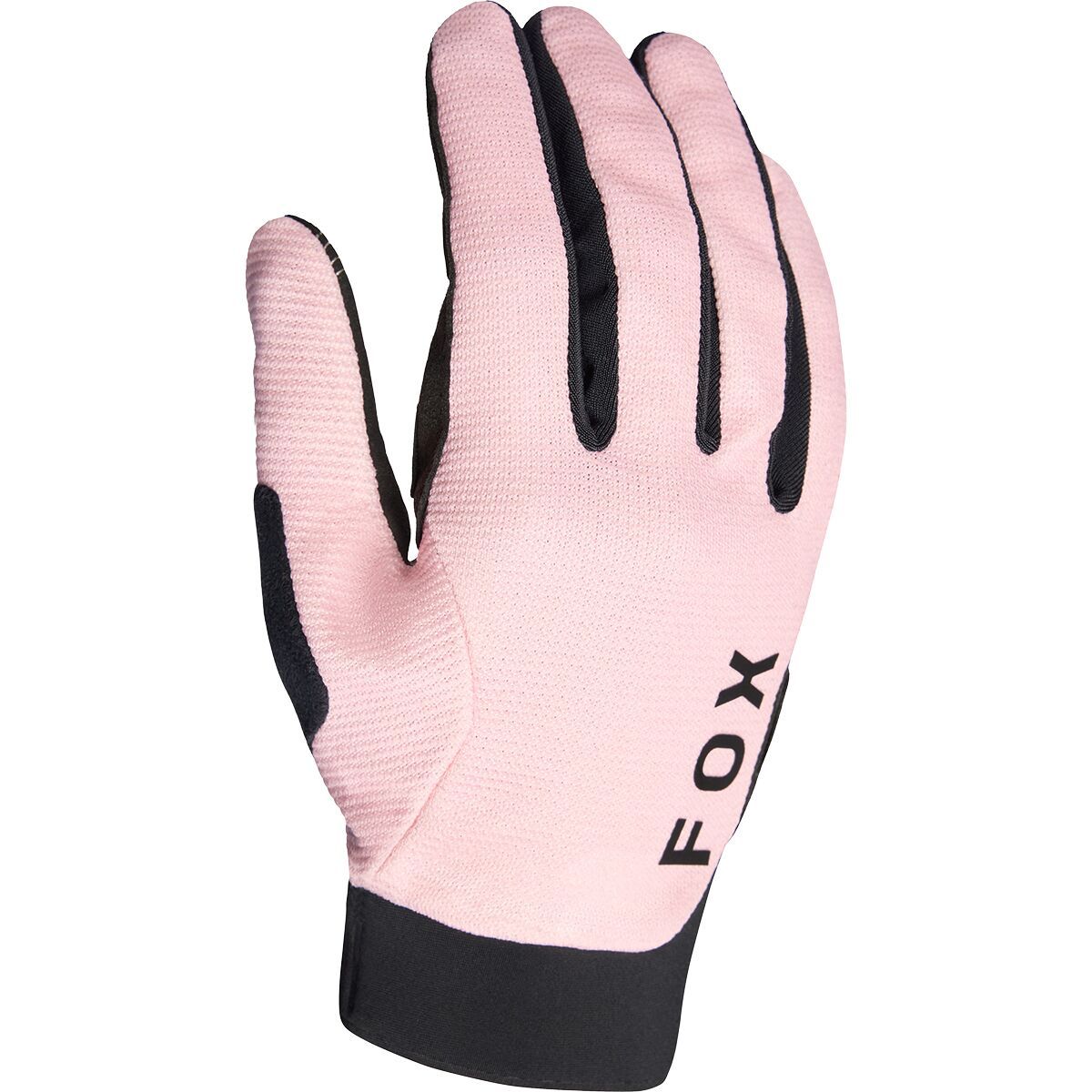
"What Our Gearhead® Experts Are Saying:""The Youth Ranger Gloves are a great option for young riders who need both comfort and control. The low-profile cuff keeps them lightweight and secure, while the touchscreen-compatible fingertips make it easy to...

"What Our Gearhead® Experts Are Saying:""With the Ranger Gel Short Finger Gloves, I get the perfect combination of comfort, grip, and breathability. The TruGel padding helps absorb shock and vibrations, making rough trails and long road rides more comfortable....

"What Our Gearhead® Experts Are Saying:""With the Ranger Gel Short Finger Gloves, I get the perfect combination of comfort, grip, and breathability. The TruGel padding helps absorb shock and vibrations, making rough trails and long road rides more comfortable....
"What Our Gearhead® Experts Are Saying:""With the Ranger Gel Short Finger Gloves, I get the perfect combination of comfort, grip, and breathability. The TruGel padding helps absorb shock and vibrations, making rough trails and long road rides more comfortable....

"What Our Gearhead® Experts Are Saying:""These gloves strike the perfect balance between comfort and protection. The gel padding absorbs vibrations on rough trails, and the hook-and-loop closure ensures a snug fit. They're breathable and lightweight,...
"What Our Gearhead® Experts Are Saying:""These gloves strike the perfect balance between comfort and protection. The gel padding absorbs vibrations on rough trails, and the hook-and-loop closure ensures a snug fit. They're breathable and lightweight,...

"What Our Gearhead® Experts Are Saying:""These gloves strike the perfect balance between comfort and protection. The gel padding absorbs vibrations on rough trails, and the hook-and-loop closure ensures a snug fit. They're breathable and lightweight,...

"What Our Gearhead® Experts Are Saying:""For long rides on rugged trails, the Ranger Gel Glove provides the perfect balance of comfort and control. The TruGel padding absorbs trail vibrations to reduce hand fatigue, while the touchscreen-compatible fingertips...
"What Our Gearhead® Experts Are Saying:""For long rides on rugged trails, the Ranger Gel Glove provides the perfect balance of comfort and control. The TruGel padding absorbs trail vibrations to reduce hand fatigue, while the touchscreen-compatible fingertips...

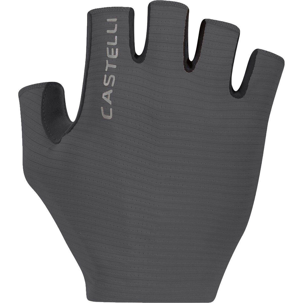
"What Our Gearhead® Experts Are Saying:""The Espresso Glove combines comfort and function perfectly. The Air-O stretch fabric keeps my hands cool on warm rides, and the Castelli Damping System (CDS) does wonders for reducing numbness on long routes....

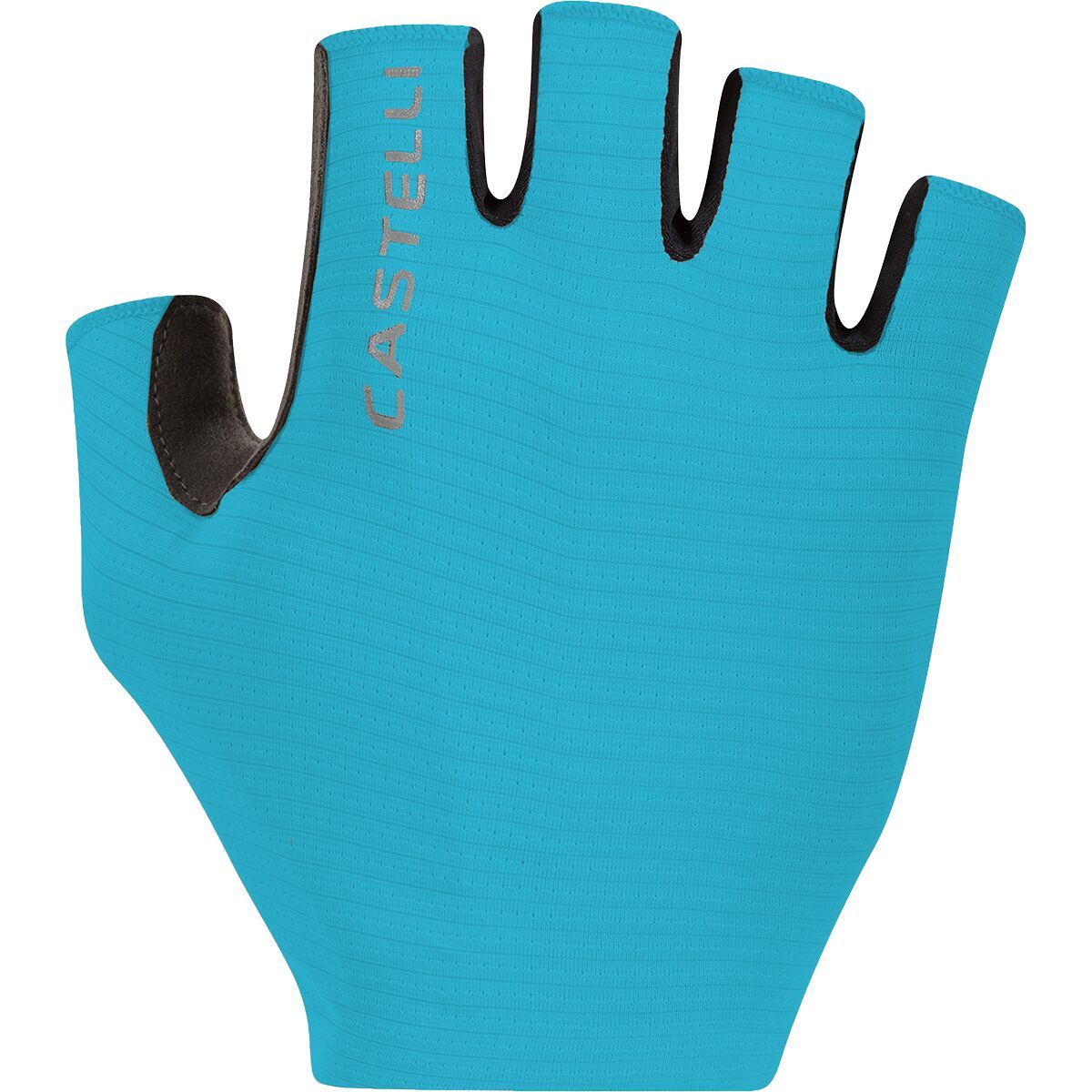
"What Our Gearhead® Experts Are Saying:""The Espresso Glove combines comfort and function perfectly. The Air-O stretch fabric keeps my hands cool on warm rides, and the Castelli Damping System (CDS) does wonders for reducing numbness on long routes....
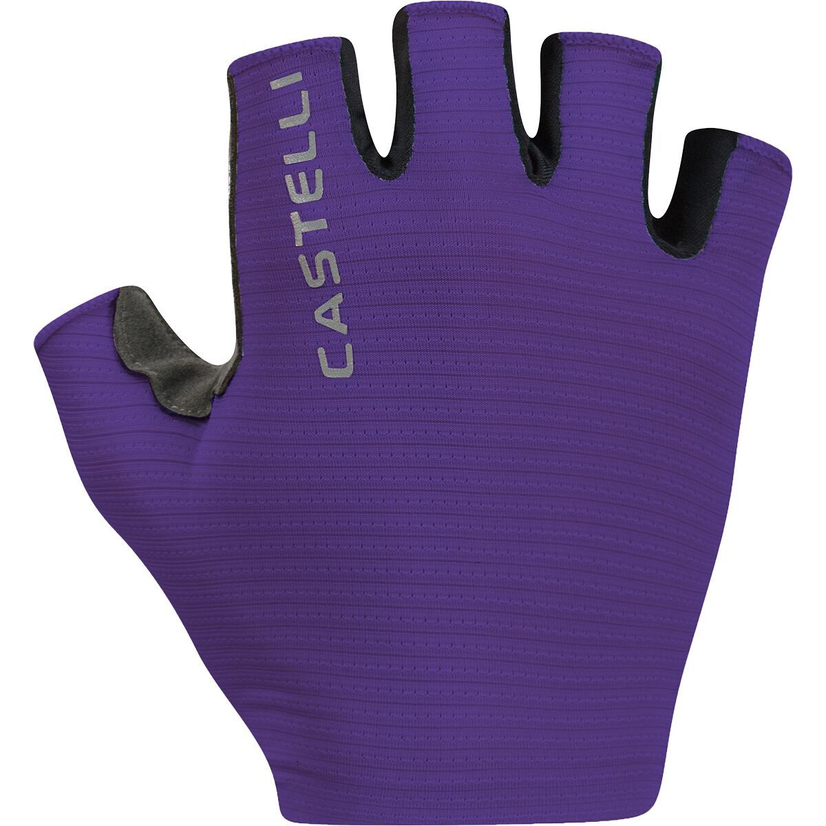
"What Our Gearhead® Experts Are Saying:""The Espresso Glove combines comfort and function perfectly. The Air-O stretch fabric keeps my hands cool on warm rides, and the Castelli Damping System (CDS) does wonders for reducing numbness on long routes....

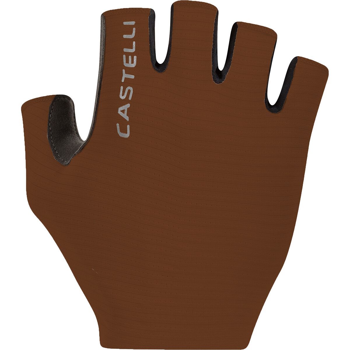
"What Our Gearhead® Experts Are Saying:""The Espresso Glove combines comfort and function perfectly. The Air-O stretch fabric keeps my hands cool on warm rides, and the Castelli Damping System (CDS) does wonders for reducing numbness on long routes....
"What Our Gearhead® Experts Are Saying:""The Espresso Glove combines comfort and function perfectly. The Air-O stretch fabric keeps my hands cool on warm rides, and the Castelli Damping System (CDS) does wonders for reducing numbness on long routes....

"What Our Gearhead® Experts Are Saying:""The Espresso Glove combines comfort and function perfectly. The Air-O stretch fabric keeps my hands cool on warm rides, and the Castelli Damping System (CDS) does wonders for reducing numbness on long routes....

"What Our Gearhead® Experts Are Saying:""The Espresso W Glove is my favorite for warm rides. The Air-O fabric is breathable, and the padded palm with CDS absorbs road vibration for a smooth ride. Plus, the easy wrist closure makes them a breeze to put...
"What Our Gearhead® Experts Are Saying:""The Espresso W Glove is my favorite for warm rides. The Air-O fabric is breathable, and the padded palm with CDS absorbs road vibration for a smooth ride. Plus, the easy wrist closure makes them a breeze to put...
"What Our Gearhead® Experts Are Saying:""The Espresso W Glove is my favorite for warm rides. The Air-O fabric is breathable, and the padded palm with CDS absorbs road vibration for a smooth ride. Plus, the easy wrist closure makes them a breeze to put...
"What Our Gearhead® Experts Are Saying:""The Espresso W Glove is my favorite for warm rides. The Air-O fabric is breathable, and the padded palm with CDS absorbs road vibration for a smooth ride. Plus, the easy wrist closure makes them a breeze to put...

"What Our Gearhead® Experts Are Saying:""The Espresso Glove combines comfort and function perfectly. The Air-O stretch fabric keeps my hands cool on warm rides, and the Castelli Damping System (CDS) does wonders for reducing numbness on long routes....

"What Our Gearhead® Experts Are Saying:""The Espresso Glove combines comfort and function perfectly. The Air-O stretch fabric keeps my hands cool on warm rides, and the Castelli Damping System (CDS) does wonders for reducing numbness on long routes....
"What Our Gearhead® Experts Are Saying:""The Espresso Glove combines comfort and function perfectly. The Air-O stretch fabric keeps my hands cool on warm rides, and the Castelli Damping System (CDS) does wonders for reducing numbness on long routes....

"What Our Gearhead® Experts Are Saying:""The Espresso Glove combines comfort and function perfectly. The Air-O stretch fabric keeps my hands cool on warm rides, and the Castelli Damping System (CDS) does wonders for reducing numbness on long routes....