
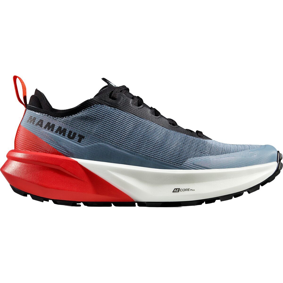
"What Our Gearhead® Experts Are Saying:""I’ve used these for mid-distance trail efforts where terrain constantly shifts. The CORE Plus foam strikes a solid balance between cushioning and responsiveness, and the 8mm drop feels natural on climbs and...
))/4514439.json)
Wear your adventurous style with the Ascend Slate Mountain Graphic Short-Sleeve T-Shirt. Finely crafted from 100% organic cotton, this Ascend men's shirt has eco-friendly construction to match the soft comfort andasting build quality. The

Completely redesigned to handle the demands of cross-country racing and downcountry riding, the Five Ten Kestrel BOA Mountain Bike Shoe is built for speed and comfort. Made with recycled materials, the abrasion-resistant upper is hyper-breathable and...
"What Our Gearhead® Experts Are Saying:""The MX239 Wide is a dream come true for riders who need extra space in their mountain bike shoes. It offers the same high-performance features as the standard MX239, with a premium leather upper that molds to...
"What Our Gearhead® Experts Are Saying:""These shoes surprised me the first time I clipped in. The fit is roomy but snug in all the right places, and the Vibram sole grips confidently when I’m off the bike. The ratcheting buckle keeps everything dialed...
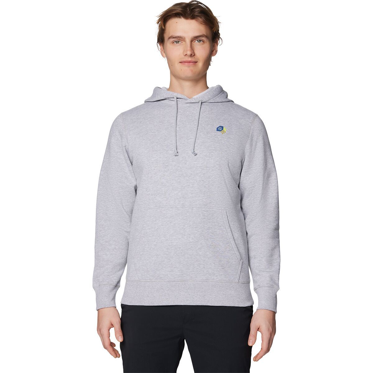
What Our Gearhead® Experts Are Saying:“This is a straightforward hoodie I throw on all the time. The cotton blend feels comfortable right away, and the graphics give it enough personality without being loud.”The MHW™ Tri-Color Logo Hoodie fits...
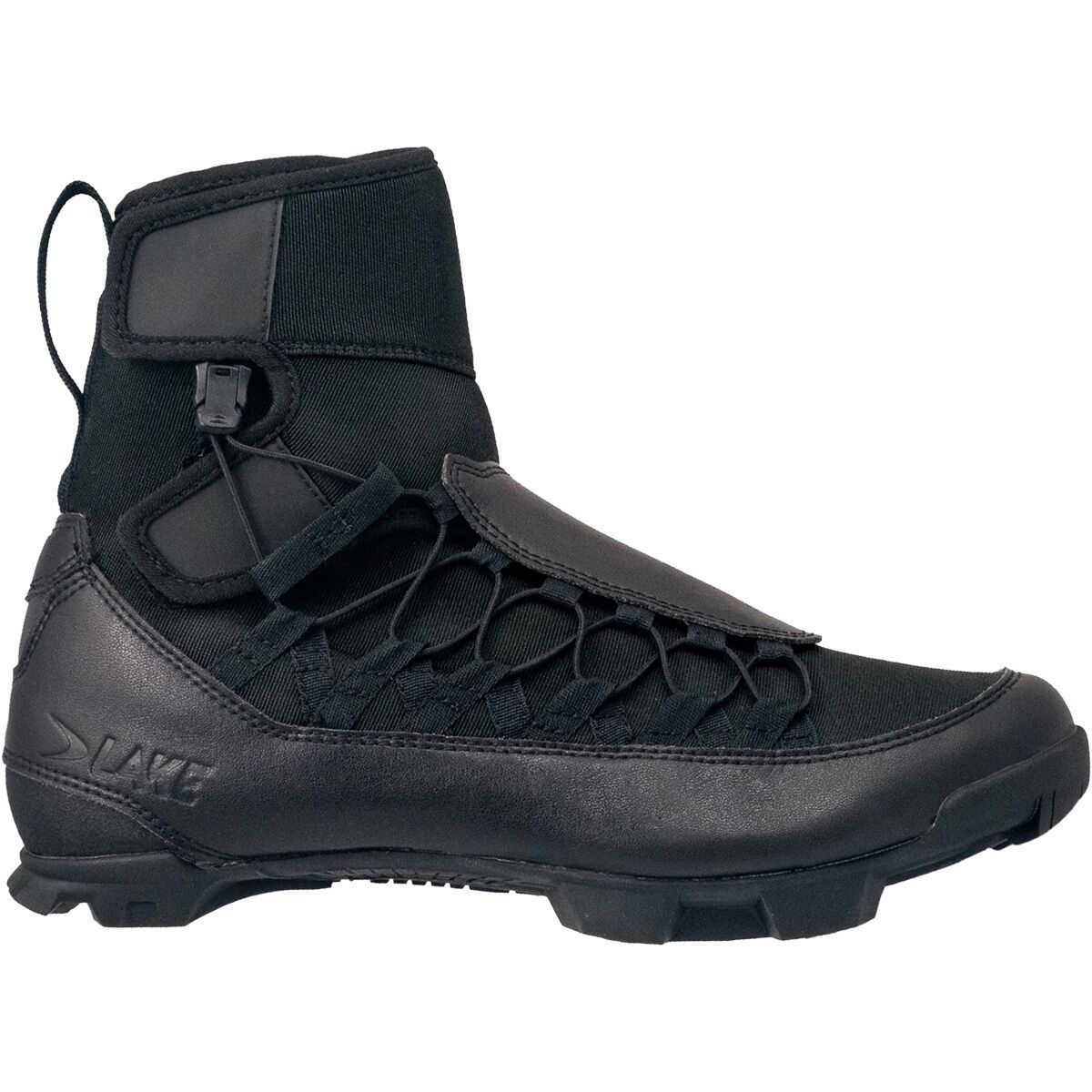
"What Our Gearhead® Experts Are Saying:""I’ve finally found a winter MTB shoe that fits wider feet without compromising performance. The MXZ21 Wide gives me room to stay comfortable on long rides, but the carbon midsole still feels stiff and efficient...
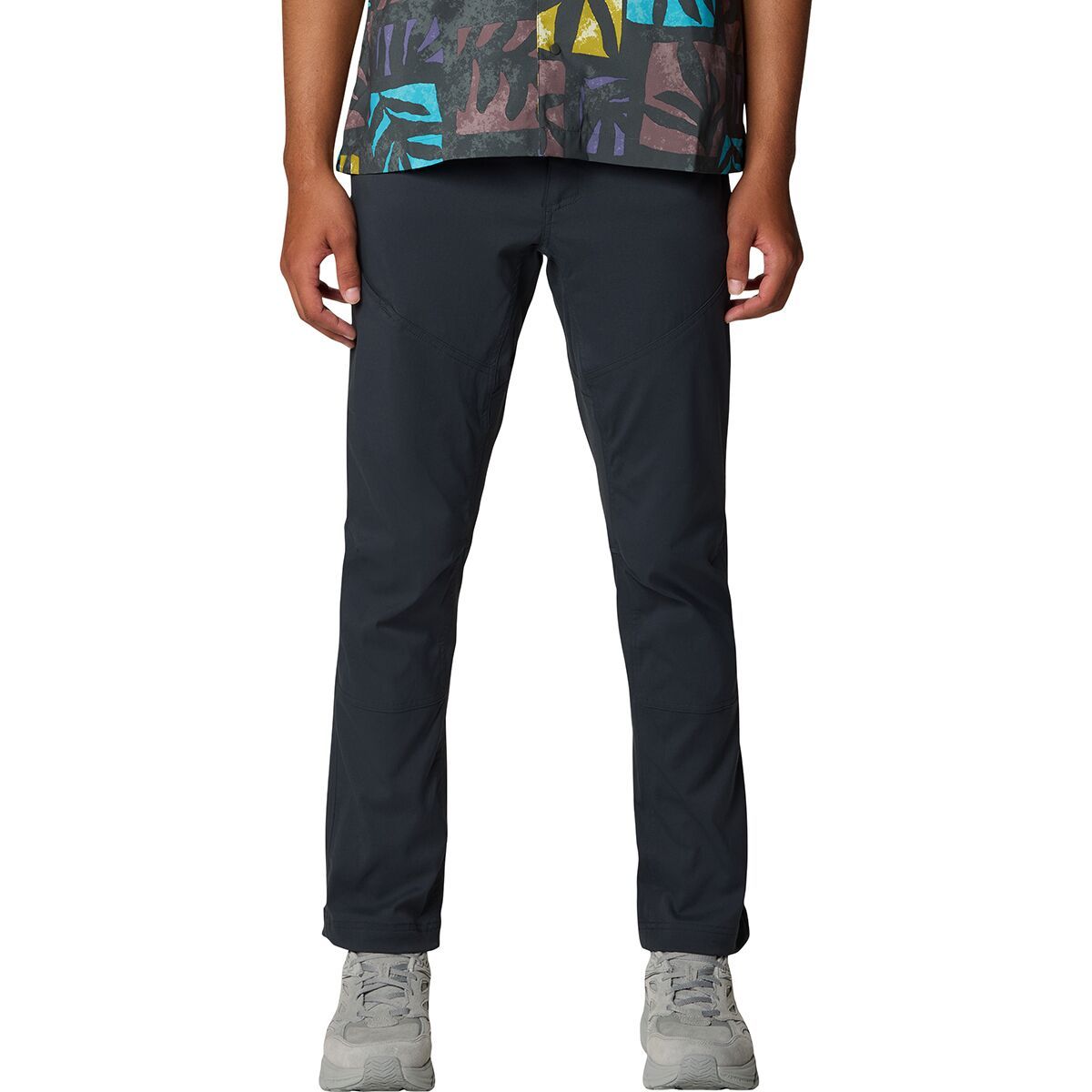
"What Our Gearhead® Experts Are Saying:""These pants strike the perfect balance between mobility and durability. The stretch-woven fabric moves with me whether I’m hiking or biking, and the secure zip pockets keep my essentials safe. The slim fit looks...

"What Our Gearhead® Experts Are Saying:""These pants strike the perfect balance between mobility and durability. The stretch-woven fabric moves with me whether I’m hiking or biking, and the secure zip pockets keep my essentials safe. The slim fit looks...
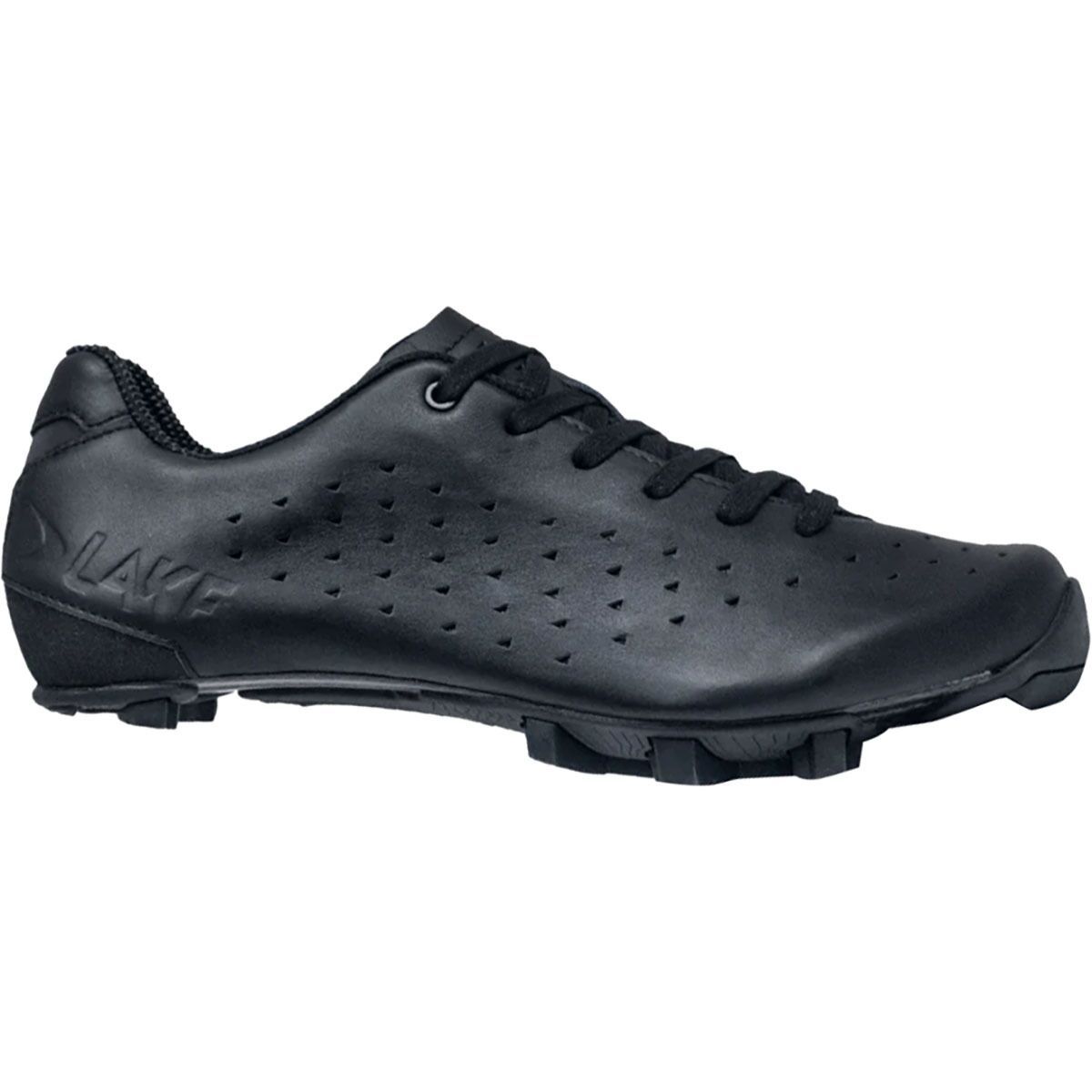
"What Our Gearhead® Experts Are Saying:""The MX21G shoes strike a balance between comfort and performance. I love the padded, single-piece upper—it feels like it molds to my foot. The laces allow for precise adjustments, and the carbon sole provides...

"What Our Gearhead® Experts Are Saying:""The MX239 Wide is a dream come true for riders who need extra space in their mountain bike shoes. It offers the same high-performance features as the standard MX239, with a premium leather upper that molds to...
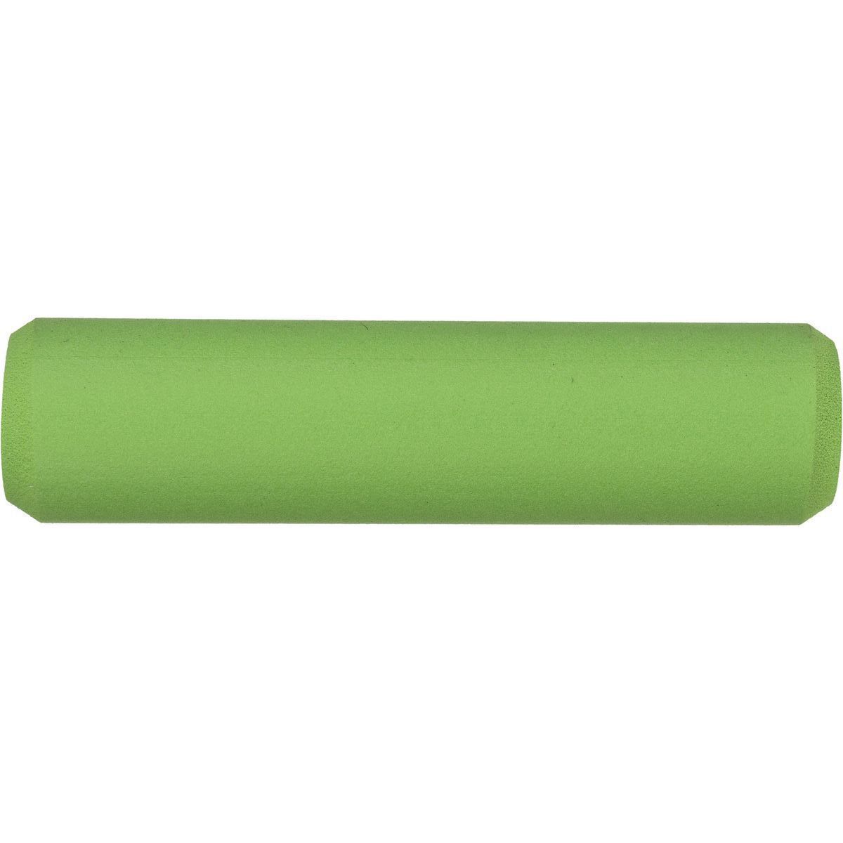
If you like your handlebar grips how you prefer your peanut butter, saddle up with the ESI Grips Extra Chunky Mountain Bike Grips. They provide a beefy 34mm diameter for sure handling and a comfortable ride and are made of 100% silicone for slip-free...
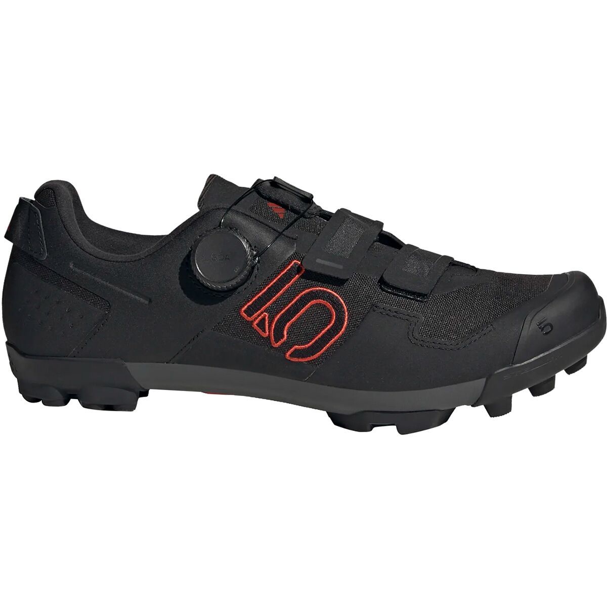
Completely redesigned to handle the demands of cross-country racing and downcountry riding, the Five Ten Kestrel BOA Mountain Bike Shoe is built for speed and comfort. Made with recycled materials, the abrasion-resistant upper is hyper-breathable and...

"What Our Gearhead® Experts Are Saying:""I’ve used these for mid-distance trail efforts where terrain constantly shifts. The CORE Plus foam strikes a solid balance between cushioning and responsiveness, and the 8mm drop feels natural on climbs and...

"What Our Gearhead® Experts Are Saying:""The MX239 Wide is a dream come true for riders who need extra space in their mountain bike shoes. It offers the same high-performance features as the standard MX239, with a premium leather upper that molds to...

What Our Gearhead® Experts Are Saying:“This is a straightforward hoodie I throw on all the time. The cotton blend feels comfortable right away, and the graphics give it enough personality without being loud.”The MHW™ Tri-Color Logo Hoodie fits...

"What Our Gearhead® Experts Are Saying:""I’ve finally found a winter MTB shoe that fits wider feet without compromising performance. The MXZ21 Wide gives me room to stay comfortable on long rides, but the carbon midsole still feels stiff and efficient...
"What Our Gearhead® Experts Are Saying:""These pants strike the perfect balance between mobility and durability. The stretch-woven fabric moves with me whether I’m hiking or biking, and the secure zip pockets keep my essentials safe. The slim fit looks...
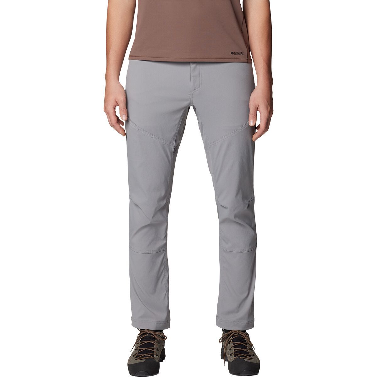
"What Our Gearhead® Experts Are Saying:""These pants strike the perfect balance between mobility and durability. The stretch-woven fabric moves with me whether I’m hiking or biking, and the secure zip pockets keep my essentials safe. The slim fit looks...

"What Our Gearhead® Experts Are Saying:""The MX21G shoes strike a balance between comfort and performance. I love the padded, single-piece upper—it feels like it molds to my foot. The laces allow for precise adjustments, and the carbon sole provides...

"What Our Gearhead® Experts Are Saying:""The MX239 Wide is a dream come true for riders who need extra space in their mountain bike shoes. It offers the same high-performance features as the standard MX239, with a premium leather upper that molds to...
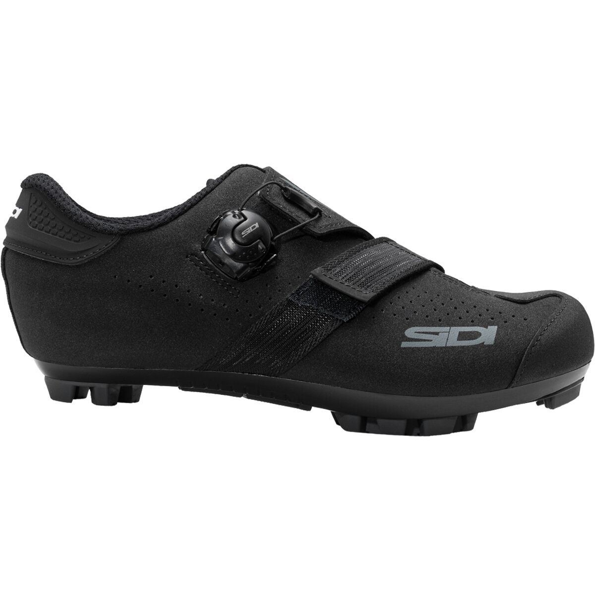
When we are looking for cycling shoes that bring performance for off-road riding, the SIDI Aertis Mega Mountain Clipless Shoe is one of our favorites. Featuring a premium suede upper, a secure Firmore closure system, and a dial adjustment system, the...

Completely redesigned to handle the demands of cross-country racing and downcountry riding, the Five Ten Kestrel BOA Mountain Bike Shoe is built for speed and comfort. Made with recycled materials, the abrasion-resistant upper is hyper-breathable and...

"What Our Gearhead® Experts Are Saying:""I’ve used these for mid-distance trail efforts where terrain constantly shifts. The CORE Plus foam strikes a solid balance between cushioning and responsiveness, and the 8mm drop feels natural on climbs and...
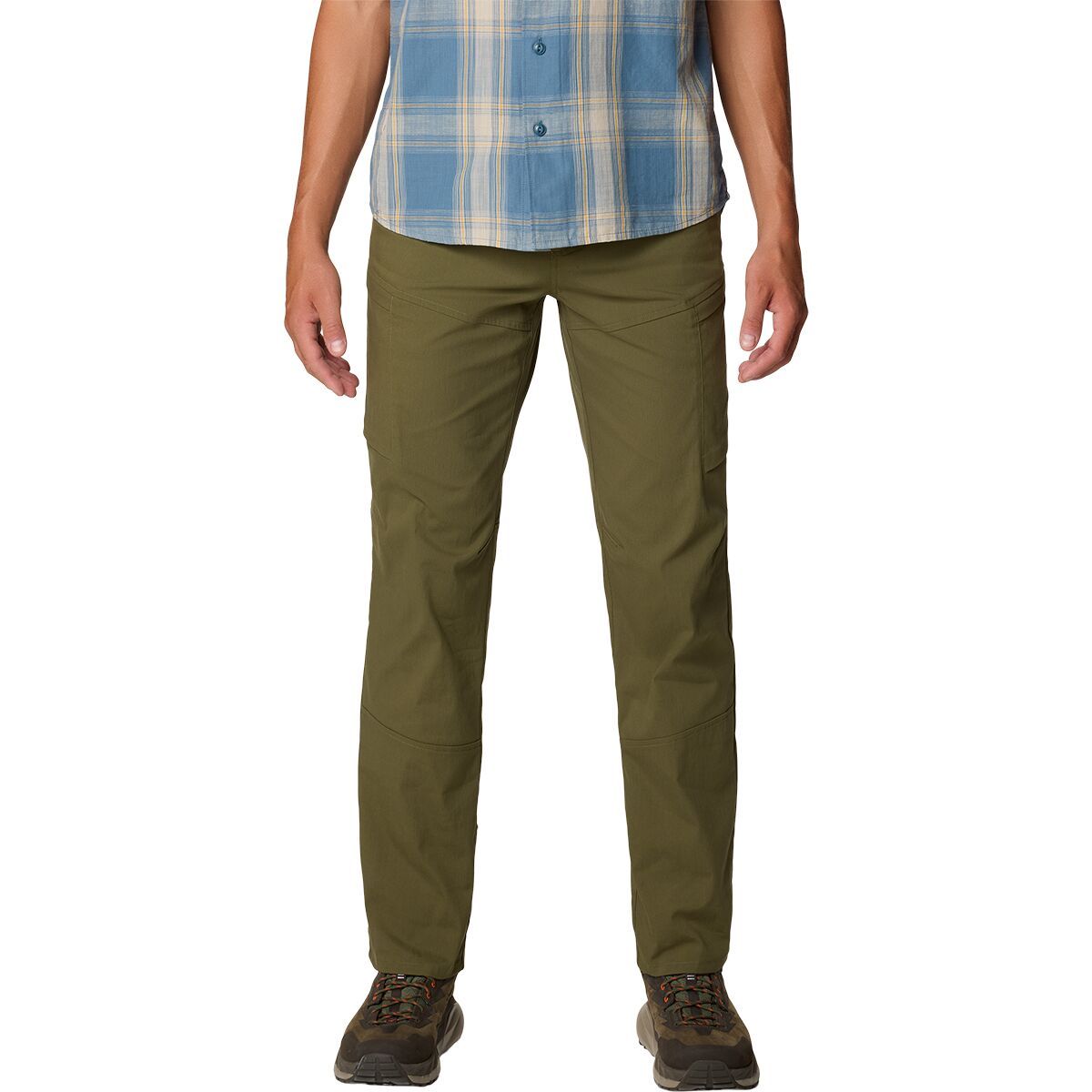
"What Our Gearhead® Experts Are Saying:""These cargo pants are a go-to for outdoor adventures and everyday wear. The peached woven fabric is soft but tough, with just the right amount of stretch for unrestricted movement. The zippered thigh pockets keep...