

))/4647155.json)
Featuring a stainless steel design, the Garmin Venu 4 GPS Smartwatch provides the advanced features you need — all on a bright, colorful display — to better understand your body and facilitate a healthyifestyle. Keep pus
))/4647160.json)
Featuring a stainless steel design, the Garmin Venu 4 GPS Smartwatch provides the advanced features you need — all on a bright, colorful display — to better understand your body and facilitate a healthyifestyle. Keep pus
))/4647161.json)
Featuring a stainless steel design, the Garmin Venu 4 GPS Smartwatch provides the advanced features you need — all on a bright, colorful display — to better understand your body and facilitate a healthyifestyle. Keep pus
))/4647159.json)
Featuring a stainless steel design, the Garmin Venu 4 GPS Smartwatch provides the advanced features you need — all on a bright, colorful display — to better understand your body and facilitate a healthyifestyle. Keep pus
))/4647162.json)
Featuring a stainless steel design, the Garmin Venu 4 GPS Smartwatch provides the advanced features you need — all on a bright, colorful display — to better understand your body and facilitate a healthyifestyle. Keep pus
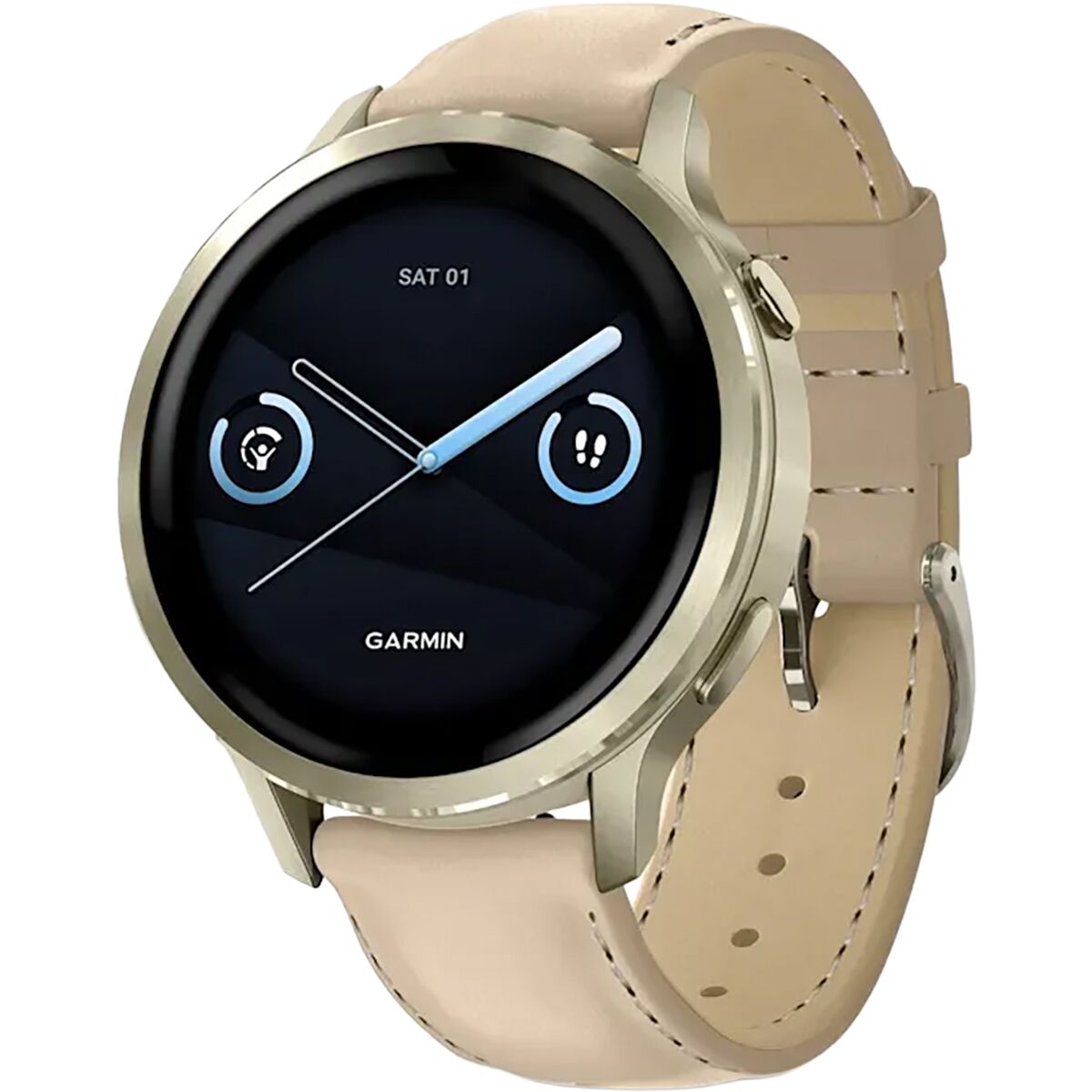
What Our Gearhead® Experts Are Saying: “I think of the 41mm Venu 4 as the smaller-wrist version of a full-featured training and wellness hub. It’s light, super comfortable, and the 1. 2-inch AMOLED display is still sharp and easy to read on runs,...
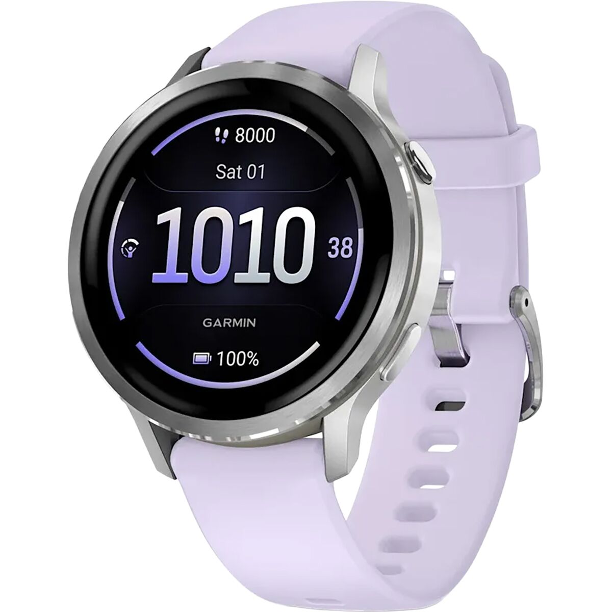
What Our Gearhead® Experts Are Saying: “I think of the 41mm Venu 4 as the smaller-wrist version of a full-featured training and wellness hub. It’s light, super comfortable, and the 1. 2-inch AMOLED display is still sharp and easy to read on runs,...
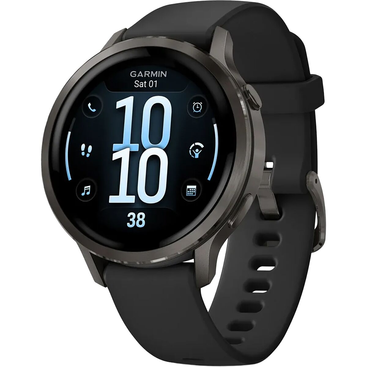
What Our Gearhead® Experts Are Saying: “I think of the 41mm Venu 4 as the smaller-wrist version of a full-featured training and wellness hub. It’s light, super comfortable, and the 1. 2-inch AMOLED display is still sharp and easy to read on runs,...
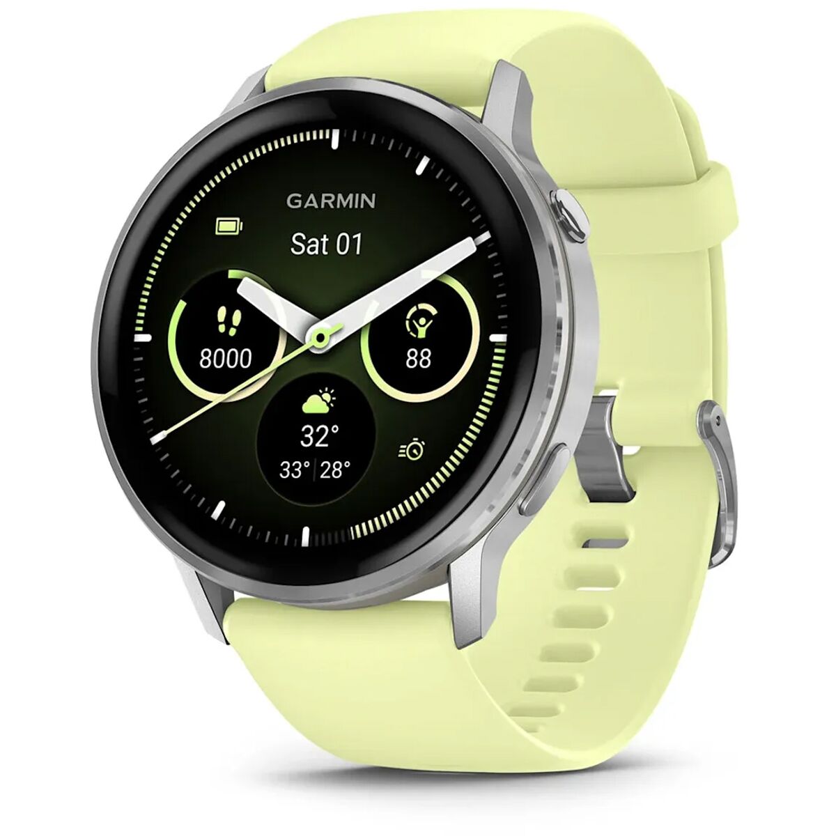
What Our Gearhead® Experts Are Saying:“I treat the Venu 4 like my daily health dashboard and training partner. The AMOLED display is super crisp indoors and outside, the new LED flashlight is surprisingly useful for pre-dawn starts, and battery life...
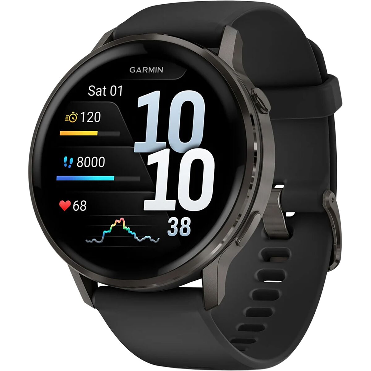
What Our Gearhead® Experts Are Saying:“I treat the Venu 4 like my daily health dashboard and training partner. The AMOLED display is super crisp indoors and outside, the new LED flashlight is surprisingly useful for pre-dawn starts, and battery life...
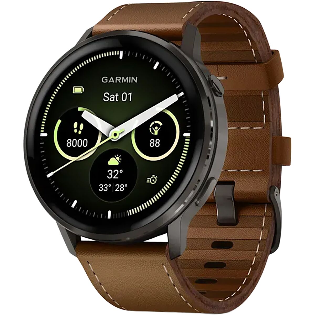
What Our Gearhead® Experts Are Saying:“I treat the Venu 4 like my daily health dashboard and training partner. The AMOLED display is super crisp indoors and outside, the new LED flashlight is surprisingly useful for pre-dawn starts, and battery life...
))/4518399.json)
The Garmin Venu X1 Fitness Tracker GPS Smartwatch features theargest screen in Garmin's entireineup. The 2 AMOLED is easy to read at a glance, plus the sapphireens ensures a scratch-resistant durability that comes in handy wi
))/3555627.json)
Communication and situational awareness are critical on the water. The Garmin VHF 215 AIS Marine Radio brings advanced communication innovations to keep you in contact better, with more information at your fingertips. This Garmin fixed-mount
))/3871043.json)
Know the real you with the Garmin vívoactive 5 GPS Smartwatch, the ultimate on-wrist coach designed to support your goals – whatever they may be. Featuring a bright, colorful, 1.2 AMOLED touchscreen display and up to 11 d
))/3871041.json)
Know the real you with the Garmin vívoactive 5 GPS Smartwatch, the ultimate on-wrist coach designed to support your goals – whatever they may be. Featuring a bright, colorful, 1.2 AMOLED touchscreen display and up to 11 d
))/3871042.json)
Know the real you with the Garmin vívoactive 5 GPS Smartwatch, the ultimate on-wrist coach designed to support your goals – whatever they may be. Featuring a bright, colorful, 1.2 AMOLED touchscreen display and up to 11 d
))/3871044.json)
Know the real you with the Garmin vívoactive 5 GPS Smartwatch, the ultimate on-wrist coach designed to support your goals – whatever they may be. Featuring a bright, colorful, 1.2 AMOLED touchscreen display and up to 11 d
))/4665892.json)
The Garmin vivoactive 6 Fitness Tracking GPS Smartwatch is the fitness tracker you'llove wearing everywhere. Its stylish design fits into your day, no matter what you're doing, and performance features keep you active and on targe
))/4518401.json)
The Garmin vivoactive 6 Fitness Tracking GPS Smartwatch is the fitness tracker you'llove wearing everywhere. Its stylish design fits into your day, no matter what you're doing, and performance features keep you active and on targe
))/4665890.json)
The Garmin vivoactive 6 Fitness Tracking GPS Smartwatch is the fitness tracker you'llove wearing everywhere. Its stylish design fits into your day, no matter what you're doing, and performance features keep you active and on targe
))/4518430.json)
The Garmin vivoactive 6 Fitness Tracking GPS Smartwatch is the fitness tracker you'llove wearing everywhere. Its stylish design fits into your day, no matter what you're doing, and performance features keep you active and on targe
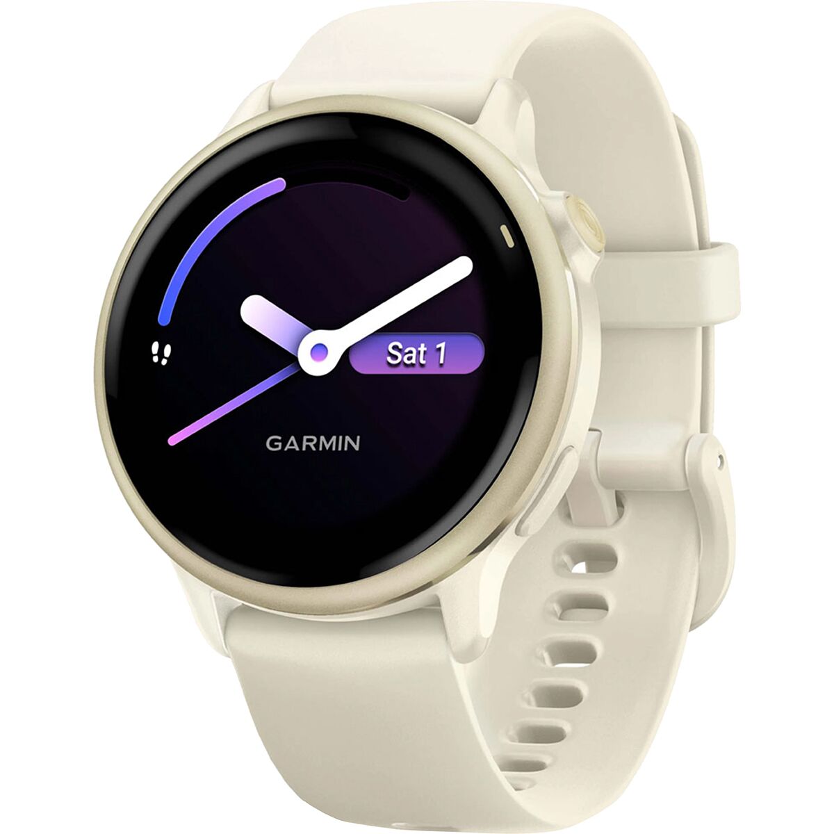
"What Our Gearhead® Experts Are Saying: ""I wear my Vivoactive 6 every day, whether I’m training for a 10K or just trying to sleep better. The Body Battery feature is my go-to—it’s crazy accurate at telling me when I need rest or can push harder....
))/3736686.json)
Get a perfectook around the clock. The Garmin vívomove Trend Hybrid Smartwatch gives you a classic analog style paired with essential smart features such as notifications on your compatible smartphone and Garmin Pay™ con
))/3736684.json)
Get a perfectook around the clock. The Garmin vívomove Trend Hybrid Smartwatch gives you a classic analog style paired with essential smart features such as notifications on your compatible smartphone and Garmin Pay™ con
))/3736688.json)
Get a perfectook around the clock. The Garmin vívomove Trend Hybrid Smartwatch gives you a classic analog style paired with essential smart features such as notifications on your compatible smartphone and Garmin Pay™ con